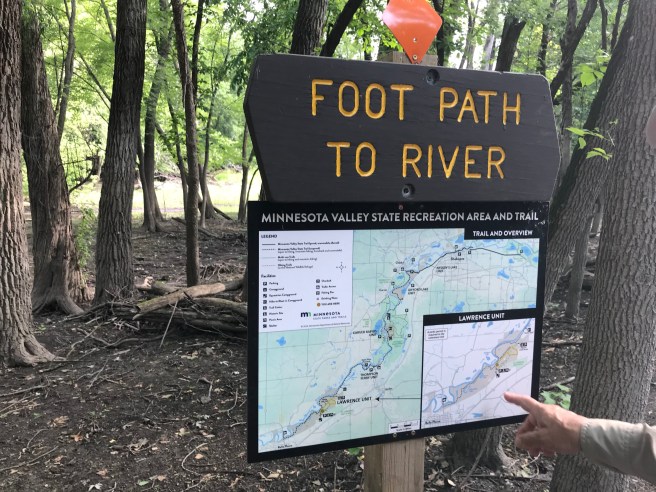
At last we made it to the Minnesota Valley SRA! It’s not too far from where we live (relatively speaking) and is the last Minnesota State Park that won’t require a lot of driving and/or overnight stays. I was surprised to learn that that this park was created fairly recently, established in 1994. The 4-mile hiking club trail consists of a somewhat straight trail that runs along a backwater stream, a loop, and then back on the original straight trail. Easy peasy!! The Minnesota River runs alongside the trail as well (thus, the name of the park), but is not clearly visible from it. The trail description also told of a Beason Lake that we’d be passing. Let’s get started.
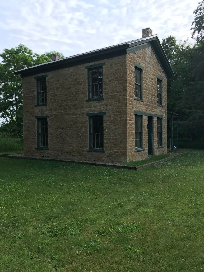
It was a good day for hiking: 64 degrees, a little humid, but not oppressively so. The hike started at the Trail Center, but we stopped first to see the Samuel B. Strait house (closed, of course), built in the late 1850’s by SBS himself with the hopes of it being the beginning of a new town called St. Lawrence. The town never took off, but the house remains. Something else of the Strait family remained as well, but we didn’t encounter it until later in the hike – a surprise in the wilderness. Ooh, foreshadowing!!
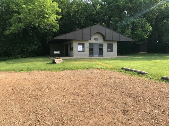
The Trail Center was deserted; ours was the only car in the lot. We carry a Minnesota State Parks Passport with us that gets stamped at every park. Fortunately, in these times of closed park offices, all the parks keep a self-serve stamp outside the door, along with bunches of park maps. We availed ourselves of both, I doused myself with mosquito spray and we got ready to hike.
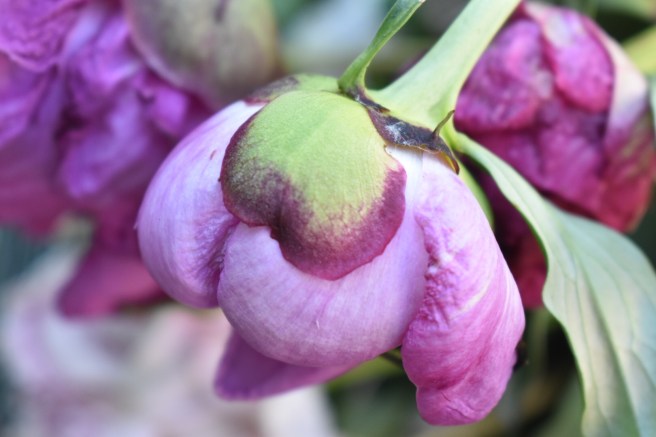
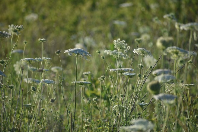
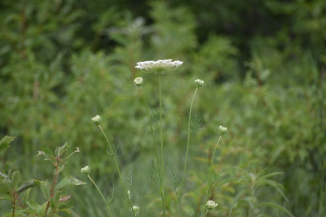
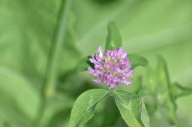
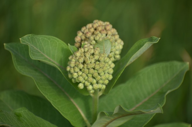
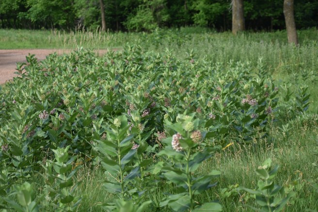
There’s lot of milkweed growing in the area where the trail starts. It’s really a beautiful plant in all its stages of life, I think. The pale green buds were just beginning to take on the pinkish cast of the bloom. I checked a couple plants for monarch eggs, but didn’t see any. I nicknamed the area “Milkweed Forest.”
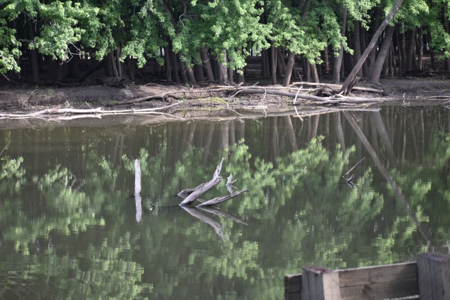
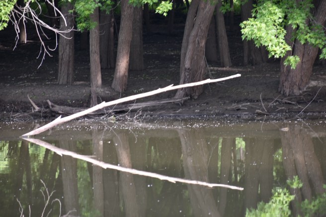
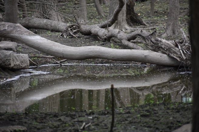
As we walked along by the backwater stream, I was struck by the stillness of the water and the many lovely reflections.
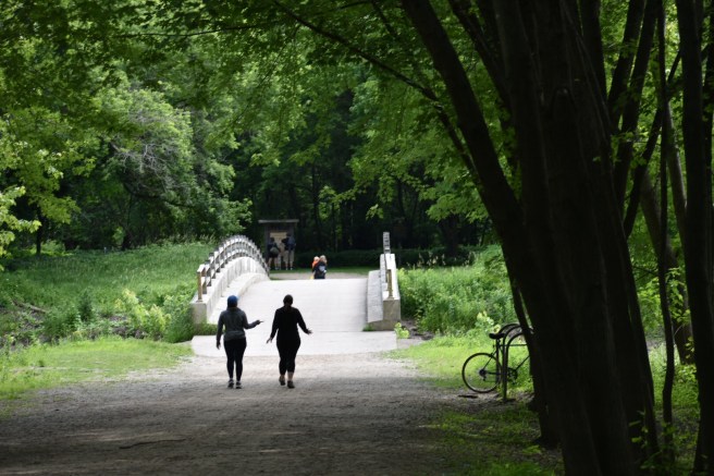
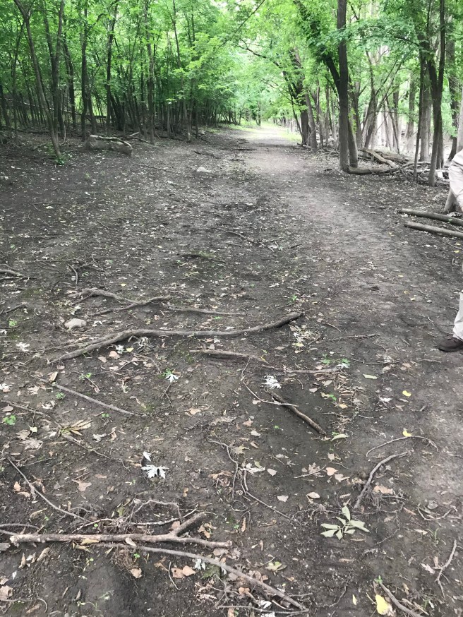
The noise of our hiking caused a big white bird to take flight. Kris thinks it was a Great Blue Heron, but it was too busy to stop for a photo op. The wide path was well cleared, but contained a lot of little tree roots sticking up at just the right height to catch your boots as you walked. I dub thee “Tripping Root Trail.”
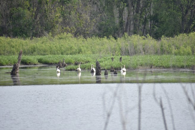
As we turned a corner away from the stream, we saw in the distance a number of white waterfowl lollygagging by the edge of the water. Hard to know what they were. Swans? Geese?
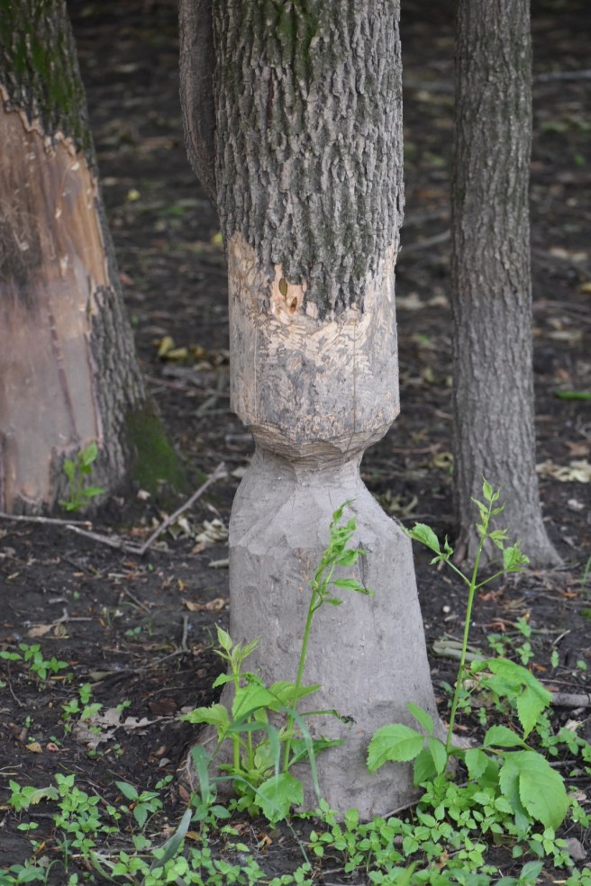
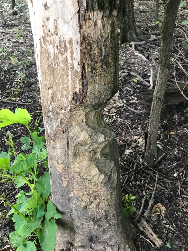
We also saw evidence that Beavers had been busy here at the turn in the road, so let’s call that intersection, “Beaver’s Corner.”
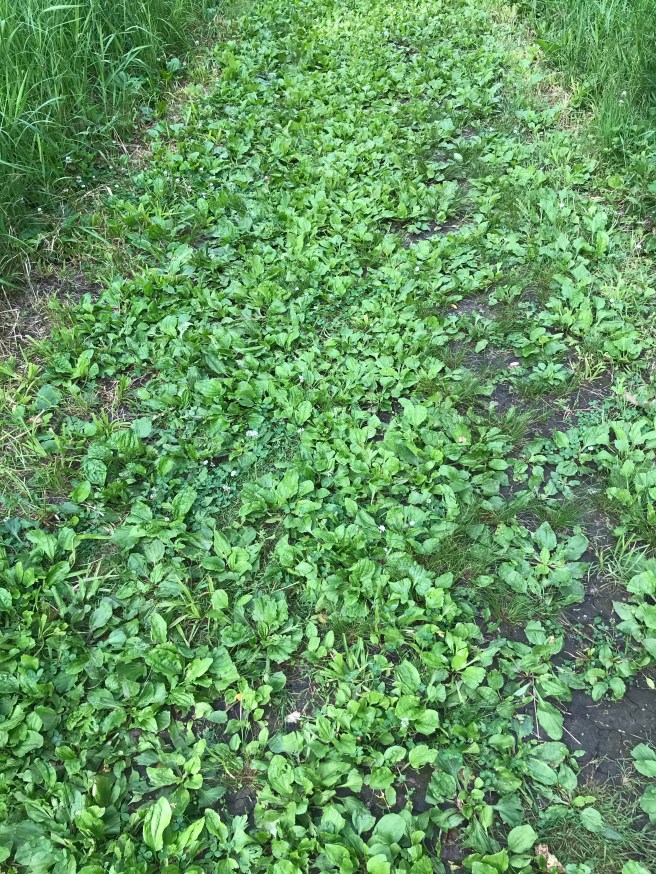
It wasn’t long before we came to the fork in the road where the loop started and ended. We hiked through a meadowy area where the path was almost purely plaintain. Anne of Green Gable’s practical friend Diana Barry would have named it “Plantain Path,” and I say, “Why not?” Sometimes it is what it is. The trail was also strewn with clever boulders, just random enough in their placement and subtle enough in their height to keep you a little off kilter as you hiked. Well played.
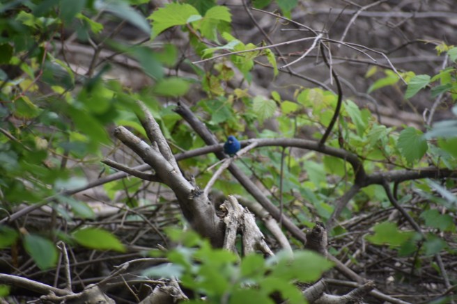
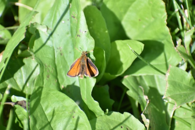
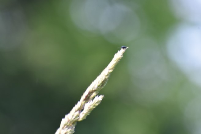
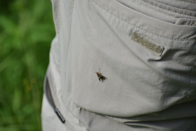
Ah, but I haven’t mentioned the biting insects yet. We could hear what sounded like mosquitos, but the one that landed on my hand and bit it wasn’t one of their ilk. I took a photo of another one on Kris’s pants so that one of you could identify it for me. This is an interactive blog – I have to give you something to do.
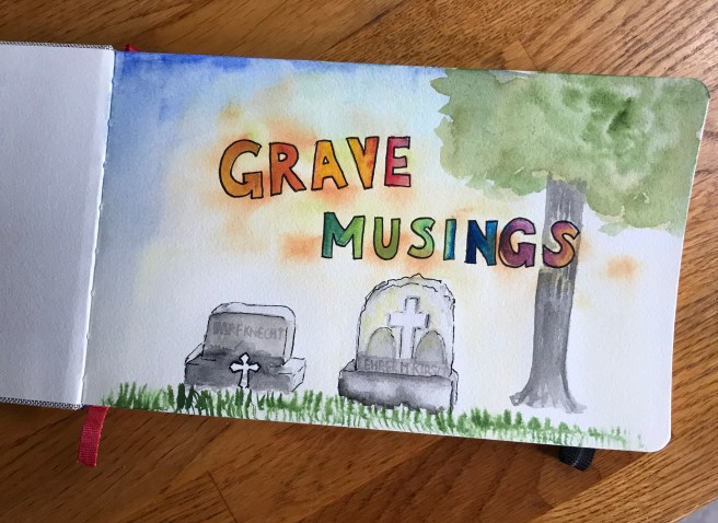
We left the meadow and were in a more heavily forested area. It was tucked into that quiet reserve that we found this:
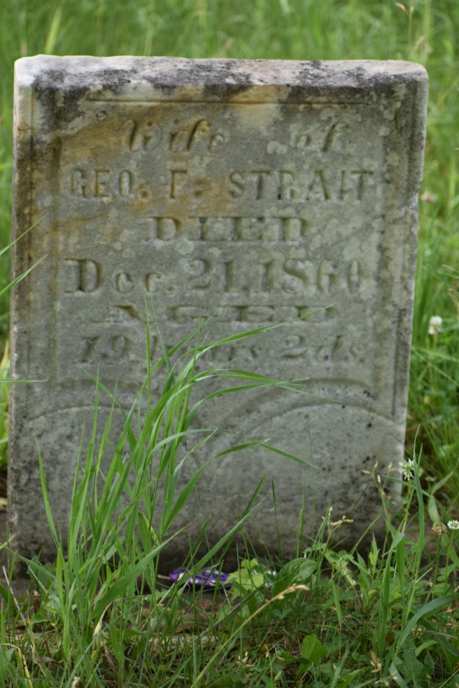
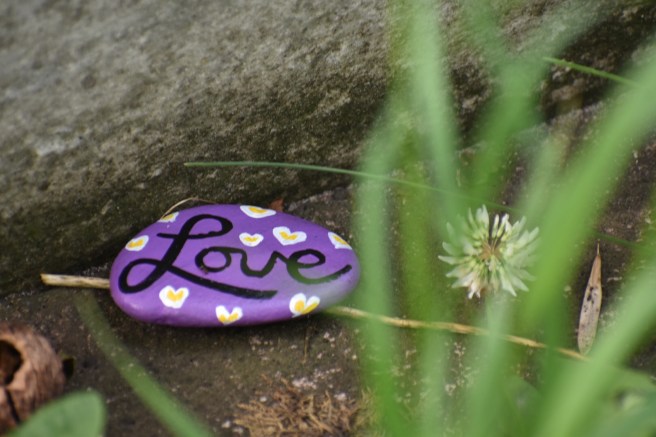
The darling young wife of Geo. F. Strait found her resting place here. Just a young lass of 19 years and 2 days (oh, how poignant the mention of those 2 days), her body was planted here and a forest grew up around it. I guess George couldn’t afford the extra cost of having her name etched in the stone. Her burial bower is kept cleared and we found evidence of love there.
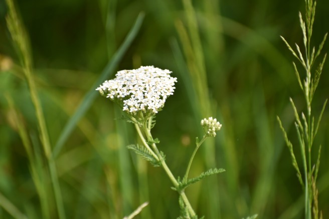
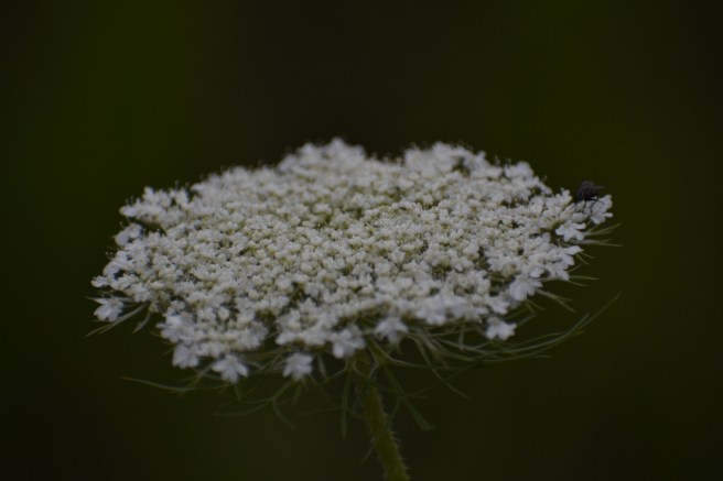
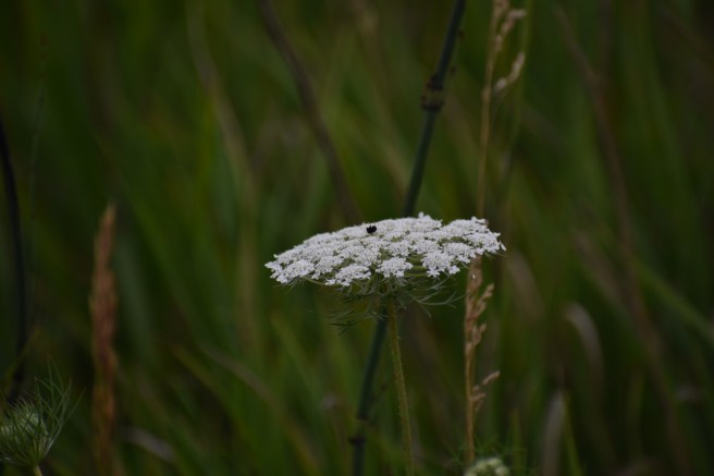
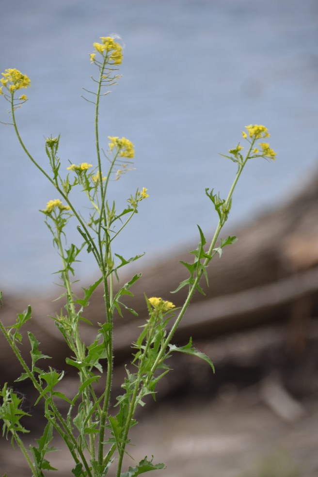
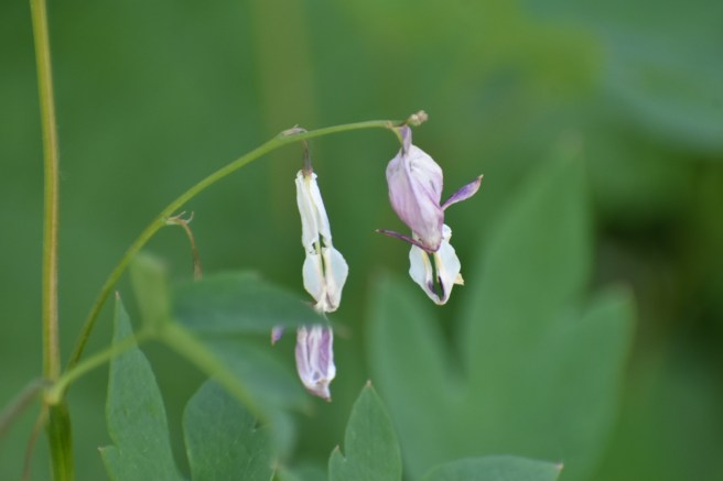
I continued to take a few photos here and there of interesting plants.
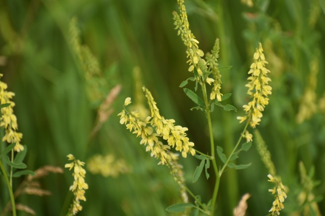


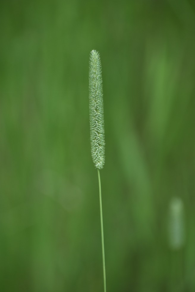
Here’s one that Kris said he thought was called “timothy:”
It should tell you something of my age that I had an immediate Pavlovian response to that word which prompted the remembrance of singing this 70’s era song:
Timothy, Timothy, where on earth did you go?
Timothy, Timothy, God, why don’t I know?
Is it true that that song is about poor Timothy being cannibalized or is that just urban legend? *shudder*
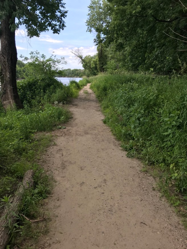
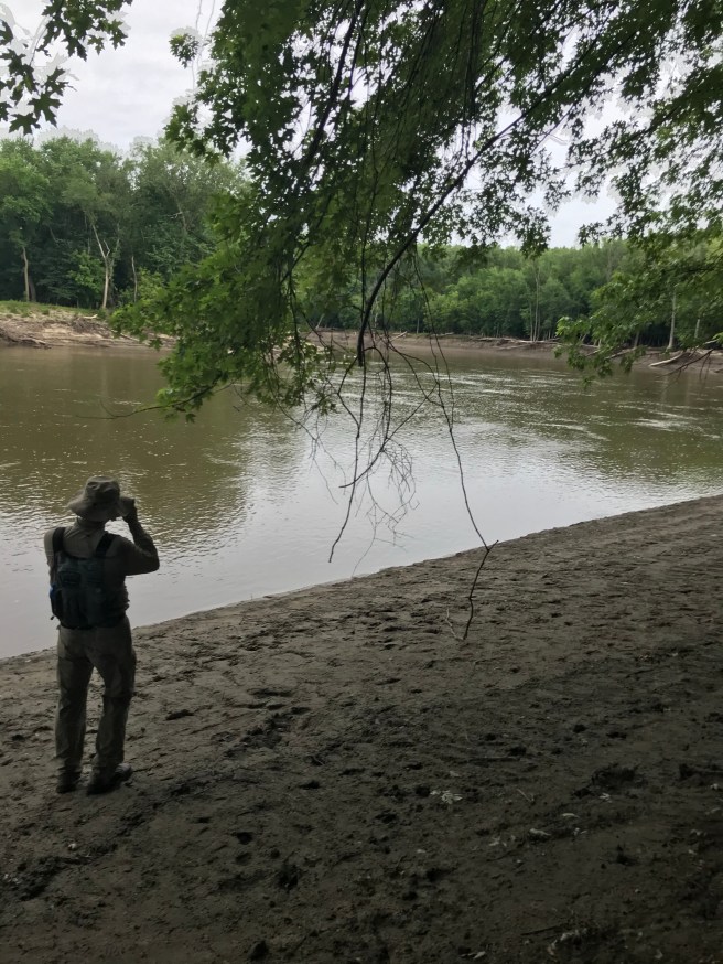
We picked up our pace as we walked. The biting bugs kept their distance as long as we kept moving, but their rules of engagement did not preclude taking advantage of a slow plod. The scenery began to go by in a blur as our cruel taskmasters harassed us. We noticed on our way back an opportunity to walk a short distance over to see the Minnesota River. Oh, why not? YOLO!
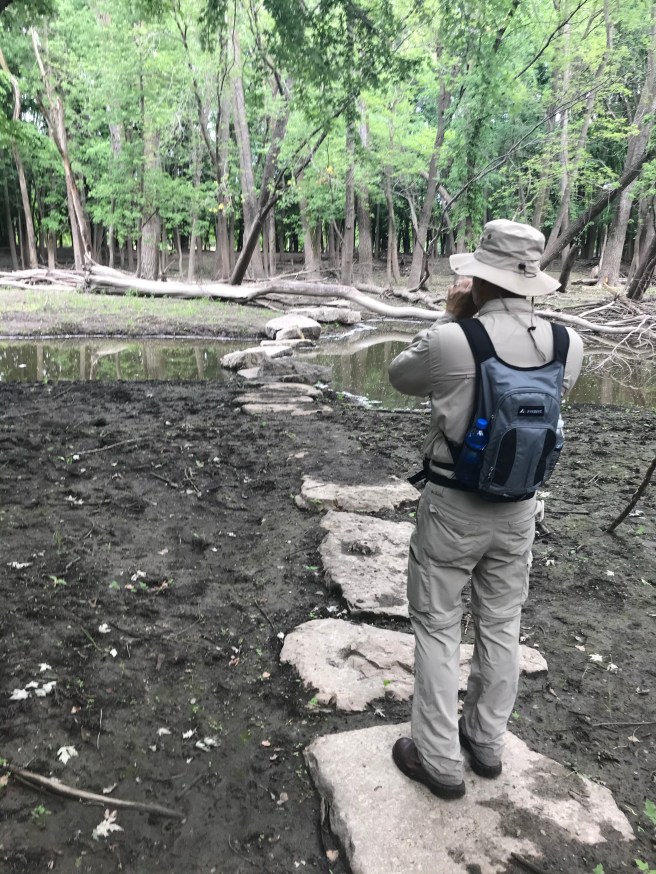
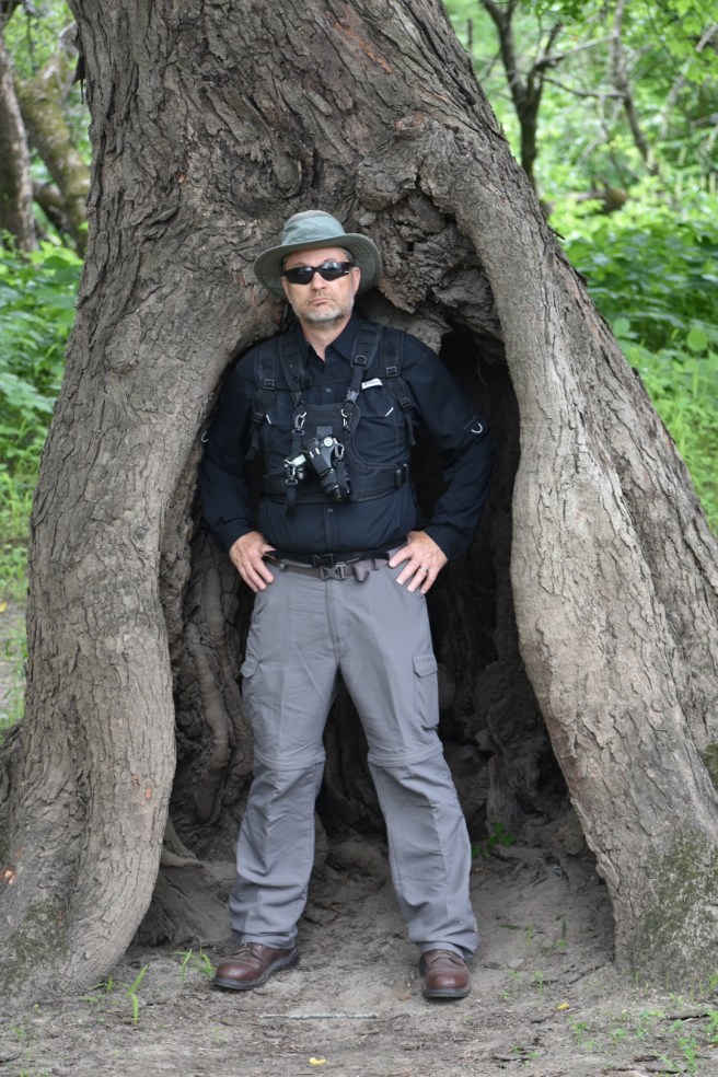
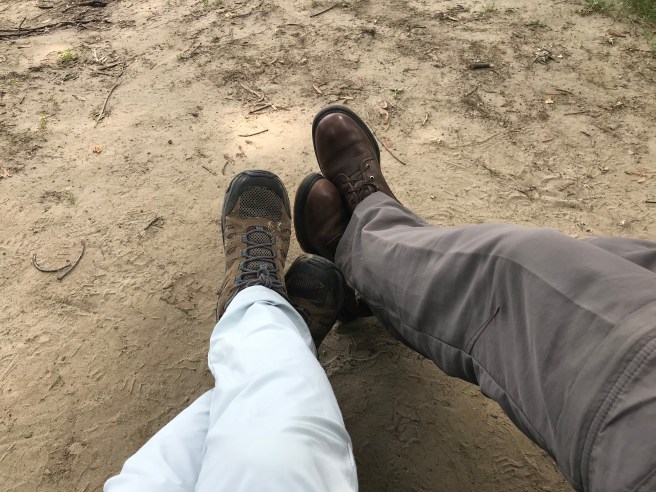
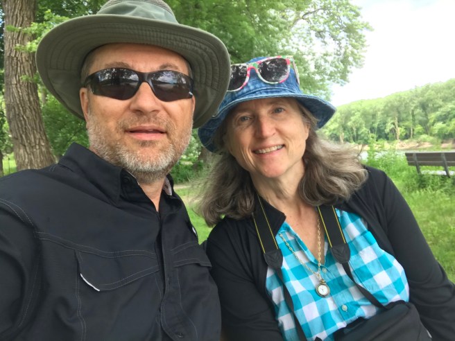
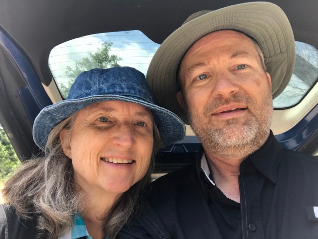
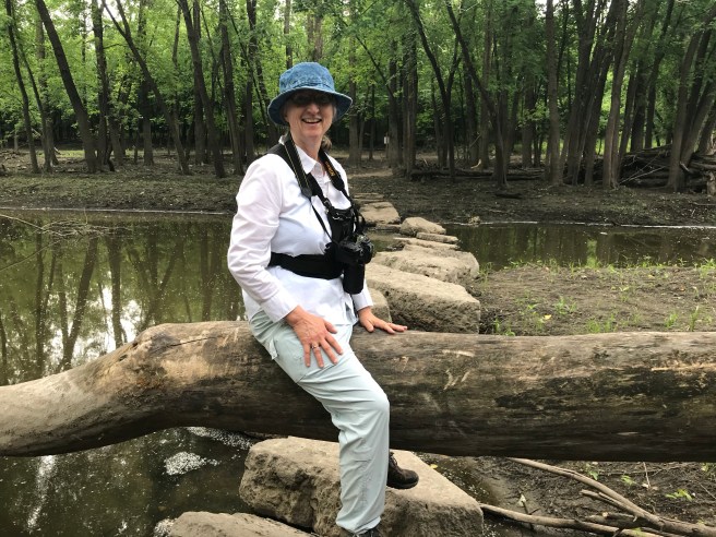
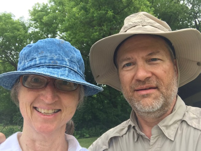
The only impediment was a large tree in the path, which we had to straddle to get over. Here’s a charming photo of me in all my “who cares what I look like” hiking regalia glory. You’ll note that Kris and I traded camera holders. I like his better and he likes mine better. Not all situations in a marriage get resolved this neatly; ’twas a happy providence.
We got to the river and took photos. Not much else to do. We call the Mississippi the Mighty Mississippi, so what should we call the Minnesota River? Majestic? Mere? Mystic? Muddy?
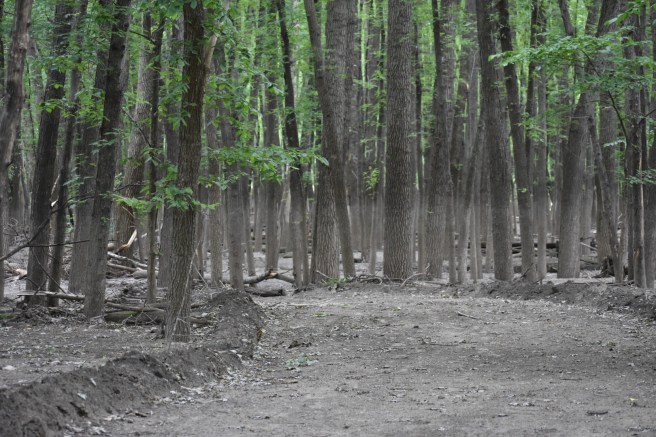
You can see the flood line in this photo of a stand of trees near the river.
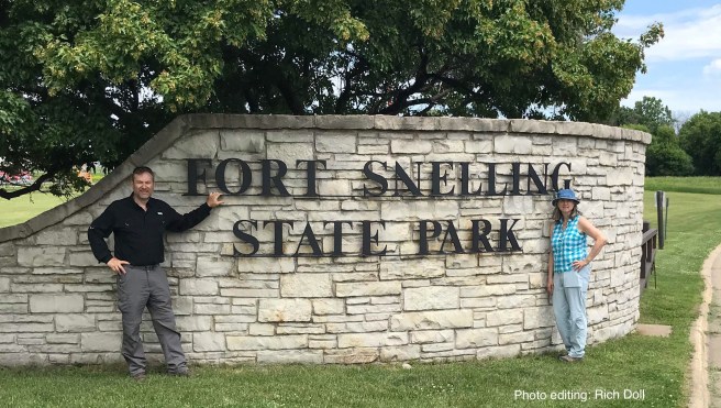
We broke all speed records on this hike. While it took 90 minutes for us to do the 3-mile Fort Snelling hike, we polished off this 4-mile hike in 80 minutes. Not bad, eh? As for the rumored Beason Lake, we never saw it. Sing this with me:
Beason Lake, Beason Lake, where on earth did you go?
Beason Lake, Beason Lake, God, why don’t I know?
Knee Score: 2 out of 10. Crosby-Manitou was a 10. Level but uneven terrain. 7522 steps.
We have now hiked a total of 65.3 miles since starting the Hiking Club in July of 2018.
I’ll probably delete this photo in the morning.
Next Hike: Blue Mounds State Park