Carley State Park: Perilous Journey

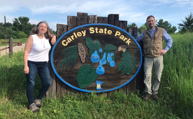
Our latest venture was to Carley State Park in southeastern Minnesota. The hike was only 1.8 miles, so we figured it wouldn’t take long and then we could go to John A. Latsch State Park right on the Minnesota/Wisconsin border, not too far from Carley. As it turned out, It took us over 2 hours to do the “1.8 mile hike,” which turned into 3.3 miles due to various detours and unforeseen perils. Come along with us as I turn molehills into mountains. It’s what I do.
The hike started out per usual: nice trail, me taking photos of flowers and greenery, etc.
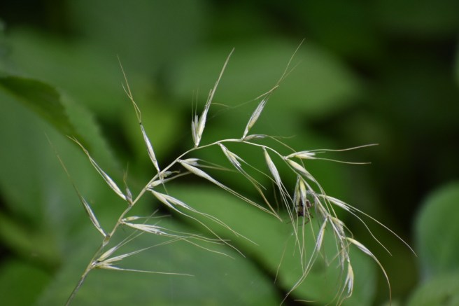
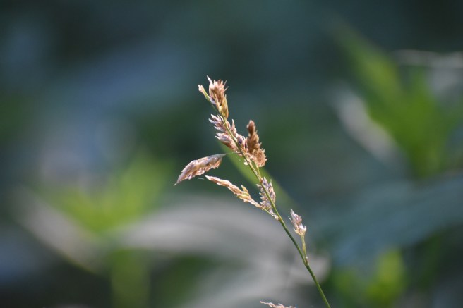
The trail ran alongside a small river (let’s call it a babbling brook, just for fun). The weather was perfect and it was one of those “God’s in His heaven and all’s right with the world” moments. Then we came to the first bridge. Or what should have been the first bridge.
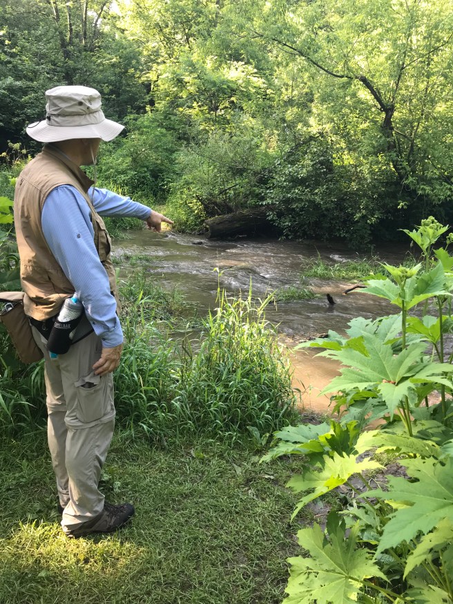
We stared somewhat uncomprehendingly at the clearly un-bridged expanse of water and wondered if we’d gone astray from the route. Nope. We contemplated walking through the river to the other side, but weren’t sure how deep it was going to get. Hmm…time to regroup. We checked the map and realized that if we went a little farther, we could veer off the trail and get back to a road taking us back to where we started. The hiking trail was a big circle, so we could then just do it in reverse. Easy peasy!

Naturally, the flat little line on the map turned out to be a path that went straight up hill.

Huffing and puffing was involved on my part, as well as a short breather along the way. But no matter, we got to the road and went back to the beginning. “Fool, fool, back to the beginning is the rule.” A good motto for writing is to bring in a quote from the Princess Bride whenever possible.

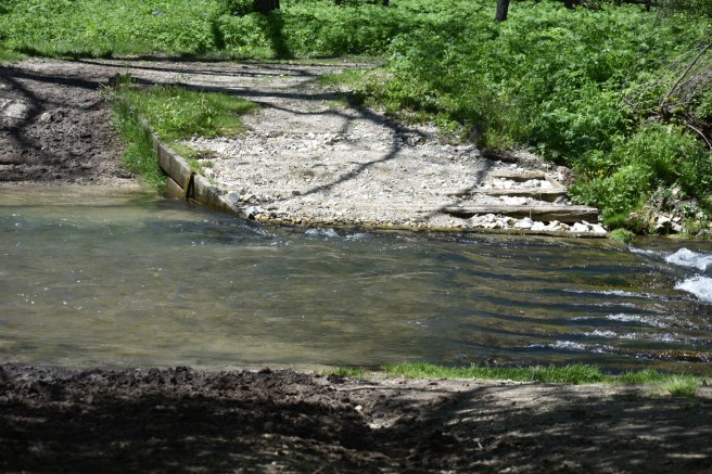
We started off again, still in good spirits. We passed a father with his two young sons carrying little fishing poles. It was so sweet, like a Norman Rockwell painting. And then we came to another “bridge.” You could actually see concrete blocks as a bridge for this one, but some of them were submerged and the water was rushing over them fairly swiftly. Again, we stopped to ponder our options. Kris thought maybe we could just take off our socks and shoes and cross over with bare feet. As we watched, another couple did that very thing and it looked like shaky, slippery business the whole way for them.
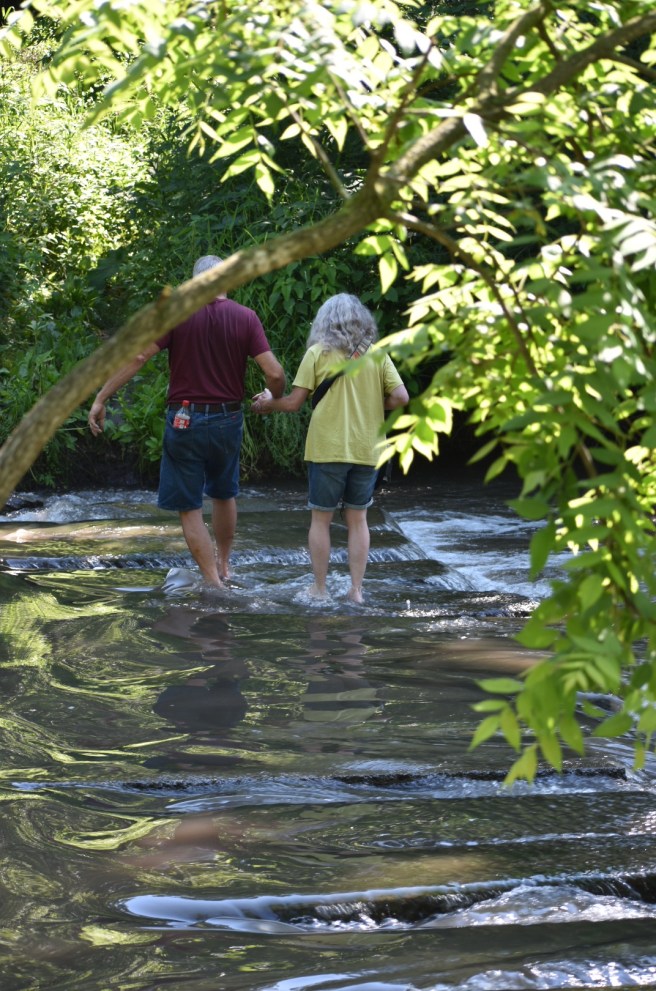
In addition, the first part of the crossing had no stepping stone and looked fairly muddy and deep. We were carrying some expensive technology (two phones and a camera) and it seemed a little risky. I think Kris would have gone for it, but I was really hesitant, so we looked at the map again for a way to redeem this hike.

While we were standing there, a red admiral butterfly took a liking to my blue jeans. Fauna!

We decided to go off the hiking club trail in order to find another way to get back on the trail without crossing the river. At this point, our main goal was to hike until we found the password and then turn back (you don’t get credit for the hike unless you know the password). This was going to take us a fair amount out of our way, but we were starting to feel grimly determined to conquer Carley State Park and its wily ways. “You will not defeat us!” was our battle cry.

We walked on and suddenly found ourselves back to the beginning again. Oops – it appeared we took a wrong turn. Kris joked that it was like being in Mirkwood Forest – all roads lead back to the spiders. It turned out that I had left the back door open to the car, so it’s just as well we came back. We realized that we could drive to another part of the park, pick up one of the other trails and join up with the Hiking Club Trail at a point across the river from the second “bridge” (I’m going to keep putting that in quotes, because I don’t consider a bunch of uneven concrete blocks to be a standard bridge and that’s final. In my mind, I’m composing a letter to the park staff which reads, “You keep using the word ‘bridge.’ I do not think that word means what you think it means.”)

Off we went. “You will not defeat us!!” The next launching point was higher up and as we started out, we realized that (a) this trail wasn’t cleared very well, and (b) it was full of nettles. I put my jacket on and we proceeded through the jungle (where’s a good machete when you need one?).
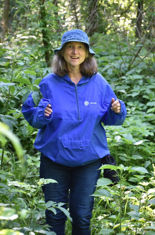
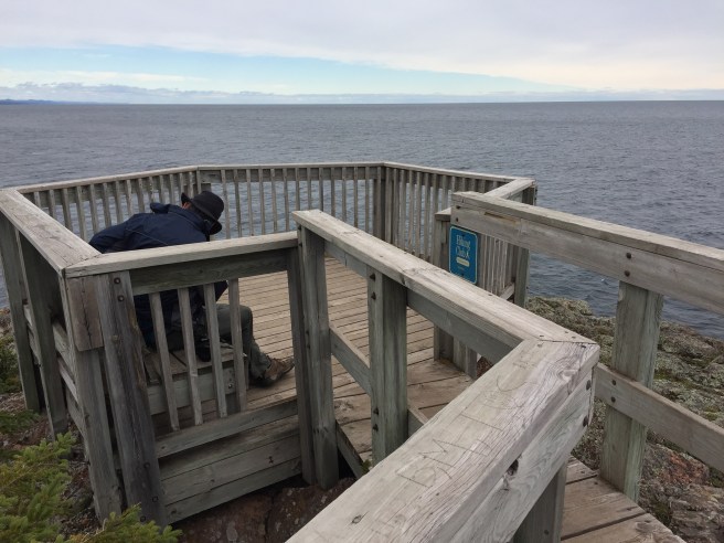
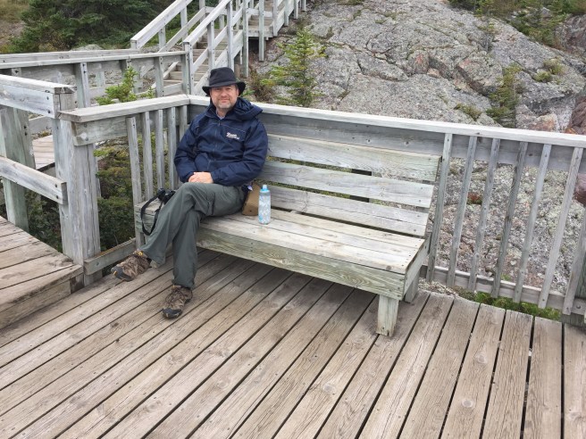
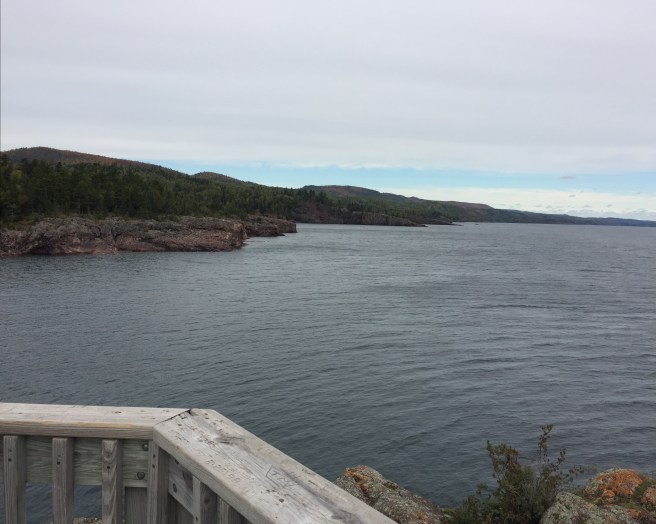
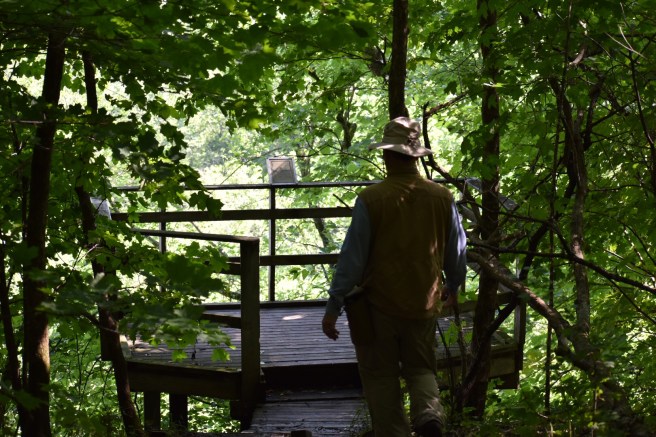
We stopped at an overlook and saw the river far below. I was rapidly losing the bold, adventuresome spirit of the thing as I contemplated going down muddy trails and then coming back up them on the way back. It’s a good thing I have a hiking partner who isn’t a quitter.
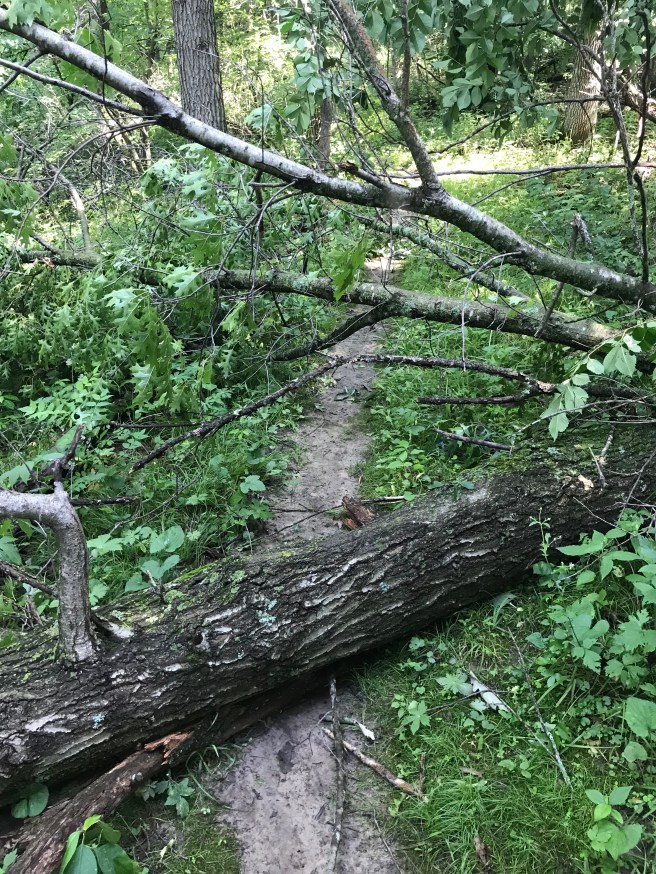
We encountered a tree blocking the trail on the way down, but by this time, we were becoming used to the appearance of roadblocks and merely walked through the brush on the side of the trail to get around it.
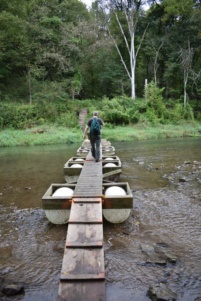
Once we joined back up with the HC Trail, it was now just going to be a short little jaunt to find the password and then turn back. Or so we thought… In reality, we hadn’t gone far when lo and behold, we came to YET ANOTHER “BRIDGE.” Sigh… Kris was not going to be denied this time and started across since this one looked decently passable, although somewhat dicey on the other side and some of the blocks were partially under water.
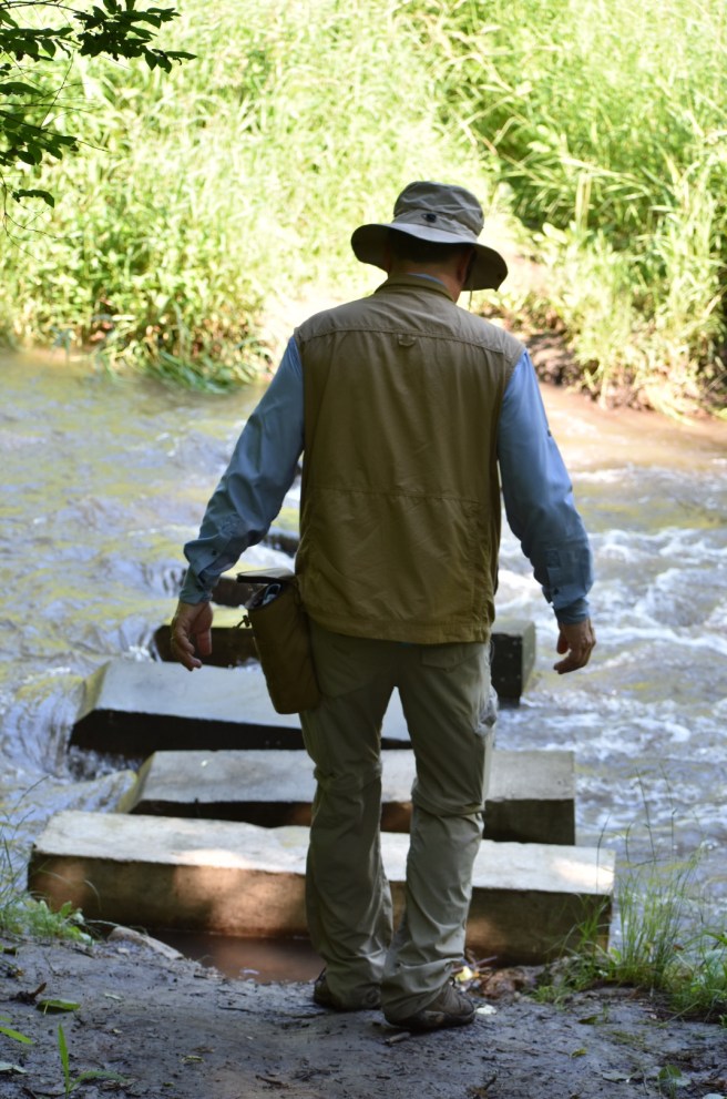
He made it look easy, so I followed suit and it wasn’t bad until the last part, which instead of a block was a small boulder as a stepping stone – hardly even above the water. It looked like a perfect place to slip and fall, but Kris grabbed my hand from the river bank and helped me across. My hero! I have to admit, it was somewhat exhilarating to have made it through that gauntlet. “You will not defeat us!!”
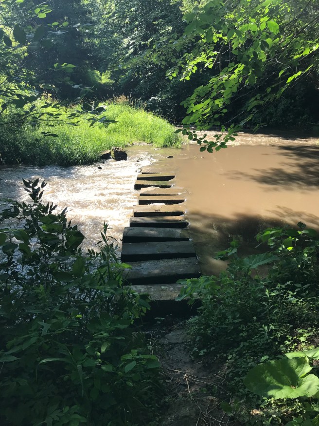
Shortly after that we come to another “bridge.” It started out with a few small boulders as stepping stones, but we managed to get across this one without falling in as well. We’re getting the hang of it! Our hiking boots hadn’t gotten completely submerged either time, which seemed like a major victory over the elements.
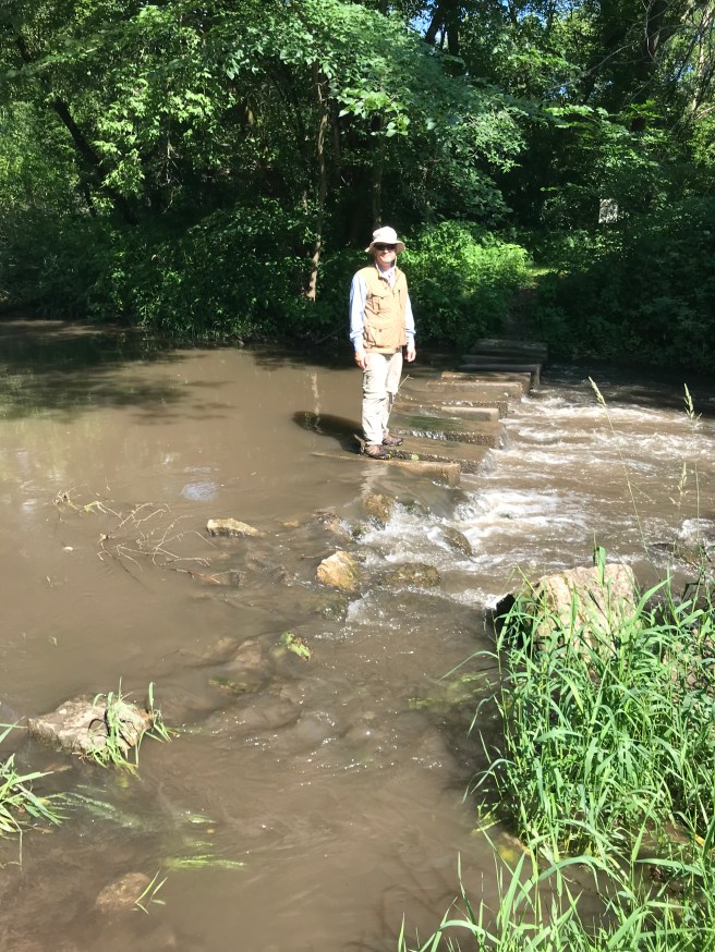
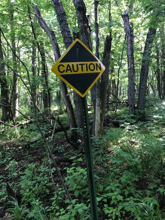
Now, where is that password sign? We walked uphill and down and the trail was slim and muddy. I was mincing along like the old person that I am, being especially cautious not to slip and fall in the mud. At last we came to a sign, which read “Caution.” “Look!” I said, “The password is ‘caution!'” I thought it was worth a try.
We trudged on, eventually coming to an actual bridge, which ironically had no water under it. Go figure. Shortly after that, we found the magical password sign, and I’m not going to tell you what it was either – why should I deprive you of having the same invigorating experience that we had in finding it?. We went back to the bridge and had ourselves a celebratory Clif Bar.
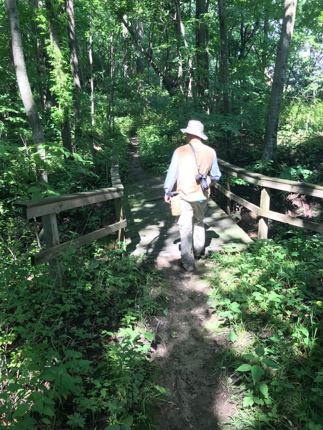
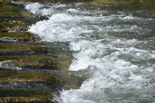
We headed back, considerably cheered by our success. When we got to the two “bridges,” we were a little dismayed to see that in the short time since we’d crossed them, the water had risen. It made the trip a bit more perilous; the water rushing over the now-submerged blocks was rapid and somewhat powerful. Our boots got fully soaked this time, but although that river tried many times to defeat us, in the end we smirked at it: “Get used to disappointment.”

And we lived happily ever after…

“Brethren, I do not regard myself as having laid hold of it yet, but this one thing I do: forgetting what lies behind and reaching forward to what lies ahead, I press on toward the goal for the prize of the upward call of God in Christ Jesus.”

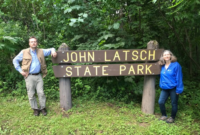
Post Script: We made it to John A. Latsch State Park, too, although there’s no Hiking Club trail there. It’s a bit of a stretch to call it a park. It’s right across the highway from the Mississippi River and there’s a path uphill to an overlook, which we skipped. I suggested we just drive through the park instead, so we did, and it turned out the the drive through was a short loop, no longer than our drive-through driveway. I’m not exaggerating!

The best part was driving on Highway 61 on the way back home – it’s a beautiful road that goes alongside the river for quite a way. We kept seeing signs for “fallen rocks” and Kris informed me that we’d know them when we saw them because they’d be the ones on the side of the road looking sad because they’d given in to temptation. That’s the kind of humor I’m privileged to get on a regular basis being married to this wonderful man.

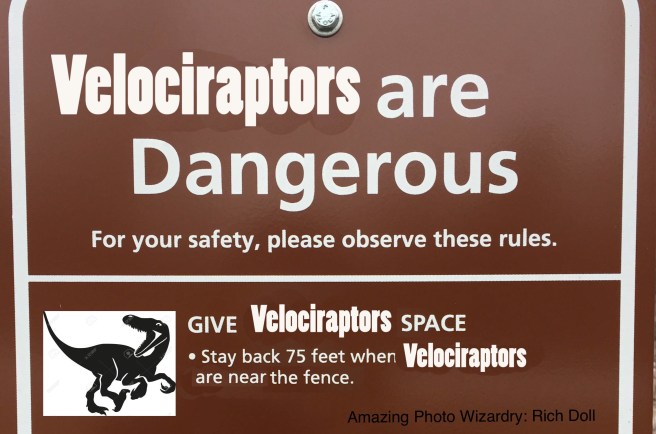
I’ll probably delete this in the morning. But not before thanking my BIL Rich for working his photo wizardry with the park sign photos again.

Next Hike: Afton State Park
Forestville/Mystery Cave State Park: Middle Earth

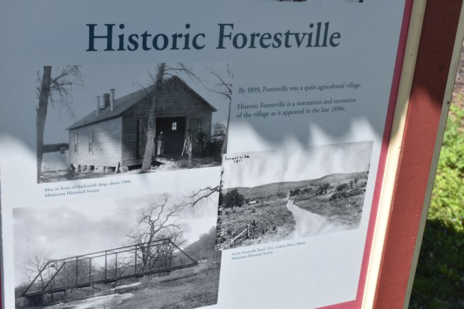
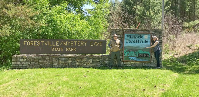
Fortified by our repast in Leroy, we were ready for our next hike at Forestville/Mystery Cave State Park near Preston, Minnesota. The trail here would be slightly longer: 2 miles. We could tell right away that we were in a rather more touristy place when we got there. More cars, more people, more attractions. The park boasts of having an equestrian camp, an actual Mystery Cave (which we didn’t make it to this time) and Historic Forestville (“Experience a historic Minnesota valley and town site with a rich history…”). This is a happening place!
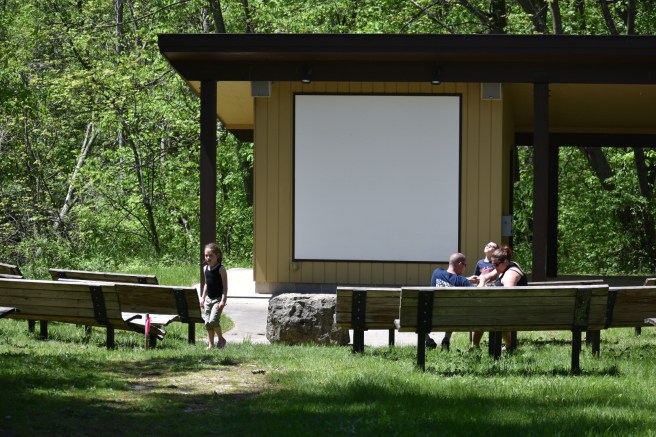
The hiking club trail started by the amphitheater and as we walked by it, we could see that some fun show was about to start, but we pressed on with our regularly scheduled hike. Nose to the grindstone and all that (or, as Wodehouse would say, “nttg and all that”).

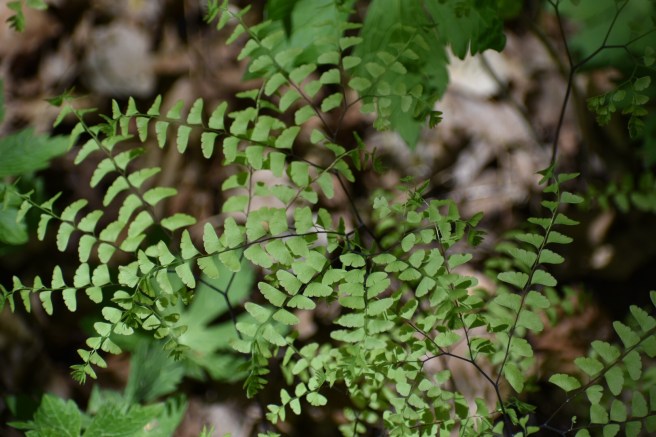
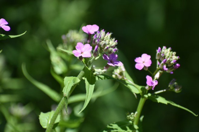
Many of the flowers were the same as those we’d seen at Lake Louise, so I didn’t feel the need to capture them again. Mostly. Okay, I took a few more photos – who can resist?

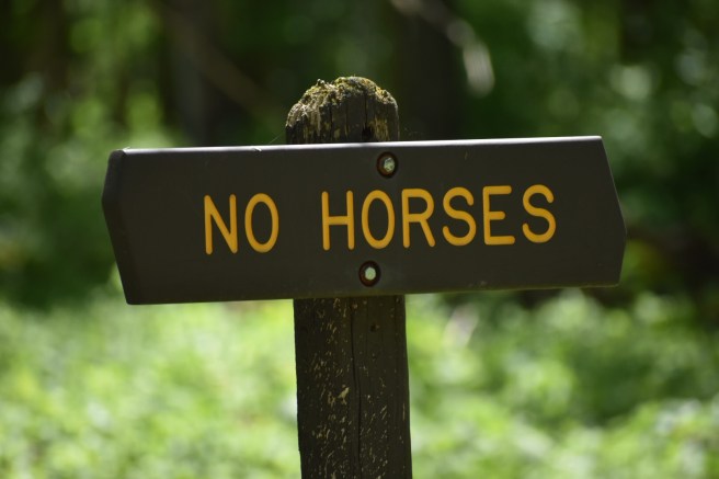
There was definitely a sense that the horse/non-horse divide at this park was important. No sooner would you see a “No Horses” sign for one trail, when you’d see horses nearby, probably a little disgruntled at the open discrimination. Their riders kept them in check, however.

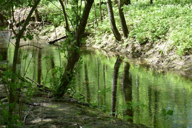
Moving along after seeing a group of horses, we found the Ford of Bruinen (it doesn’t take much for us to transport ourselves into Middle Earth). We even saw the waters looking like the heads of stampeding horses and could almost hear the elvish words “Noro lim, noro lim” being uttered to bring them forth. If you can’t see them, look harder – they’re there!

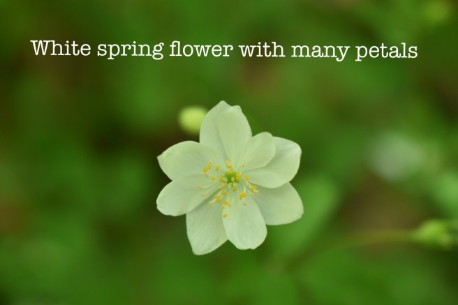
We also passed several patches of these delicate white wildflowers, prompting Kris to muse that it was like seeing a field of elanor flowers of Loth Lorien. I happened to be reading in that section of LOTR later and alas, the elanor flowers are yellow, but I think we could be justified in saying that they were instead the “pale niphredil” of Loth Lorien.

We kept running into small clumps of horseback riders – one of them would invariably say “howdy,” as they ambled past. I’m convinced that merely being on a horse necessitates the use of the word “howdy,” when greeting people. In fact, research would probably show that the word “howdy” didn’t exist until the first person clambered onto a horse way back when.

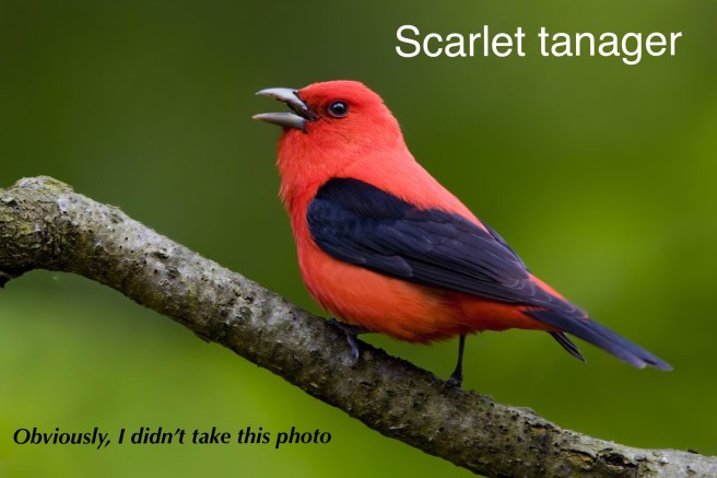
One set of riders asked if we were bird watchers – the temptation was great to claim special bird knowledge, but we didn’t. “We just saw a beautiful red bird with black wings, and we were wondering what it was,” one man told us. We could not provide these friendly Iowans with the proper answer, but afterwards, I wished I had just said “It’s probably a scarlet tanager,” even though I had no idea what one looks like. I looked it up later – that’s exactly what it was.

We were on the lookout for this red bird after that, but the horse-back-riding Iowans must have scared them all away.

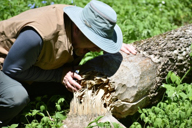
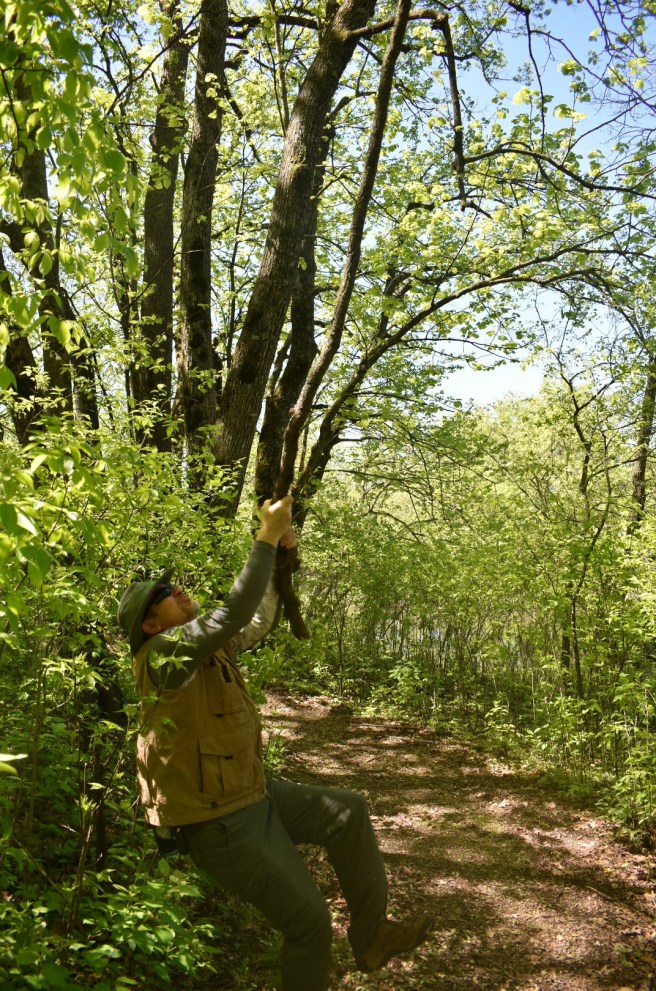
Kris got hungry and stopped for a little chaw on a fallen tree – he was feeling very beaverish at the time.

This prompts the following poem:

When your husband is feeling hungry,
And seems a little feverish,
Show him a fallen tree trunk,
He may just be feeling beaverish.

At some point the trail began going uphill and the happy, carefree portion of our hike ended (for me, anyway). Two-thirds of the way uphill, I paused to catch my breath and wipe the sweat from my brow, so we both took a five-minute break. It seemed like a good time for our snack, too – Kind bars from Leroy. I guess you could say they were Kind of good. Please laugh at that.

The hike ended soon after that and we decided to go on to Old Forestville to take a look around. When we got there, we found out that you had to pay money to take the tour. I look at that kind of proposition and say, “Why?” Kris looks at it and says, “Why not?” So off we went.

It turned out you could just wander around for free, but if you wanted to enter any of the buildings, you had to pay for the tour. We opted out and spent some time in the nice and cool gift shop where I found a charming old book (republished) called Vitology. I’m guessing it had originally been published in the 1800’s. In the very first chapter, the learned author was touting the benefits of married couples having separate bedrooms. The argument went something like this: If you have pastries in front of you all the time, you get tired of them, but if the pastries are removed from your sight, they have a greater appeal. Oh brother! It was quite diverting (if I can use the language of Jane Austen here, which seems appropriate). I wanted to read the next chapter, but we had to go and I wasn’t committed to the point of buying it.

So there you have it – 2 more miles down and our total is now up to 24.4 miles – only 0.6 miles away from earning the coveted 25-mile patch!

Hey, I’ll probably delete this in the morning.

Next Hike: Carley State Park

Lake Louise State Park: In Search of the Wild Onion

We’re on the trail again after a break for winter and more winter, and a spring that sometimes seemed an awful lot like winter. On a nice spring day at the end of May, we headed off to our first stop: Lake Louise State Park in southern Minnesota, near the small town of Leroy. It was sunny, 70 degrees, and little white poofy clouds meandered lazily across a picture-perfect blue sky. I didn’t actually TAKE a picture, but you get the idea.
We were talking to one of our sons on the phone when we arrived at the park and he had been telling us about the Godzilla movie that he was planning to see. This discussion inadvertently leached into our perceptions of the park, as you shall see.

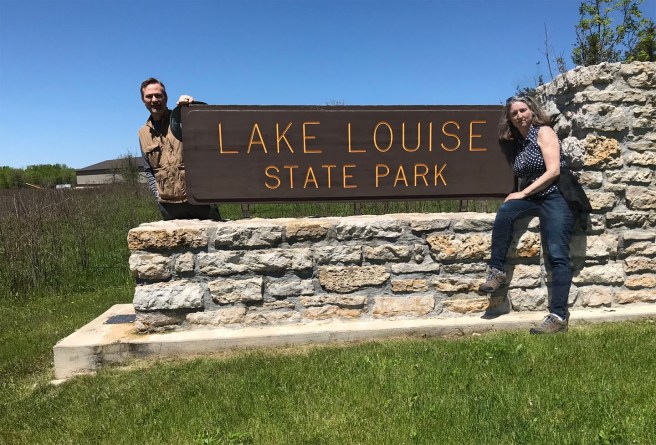
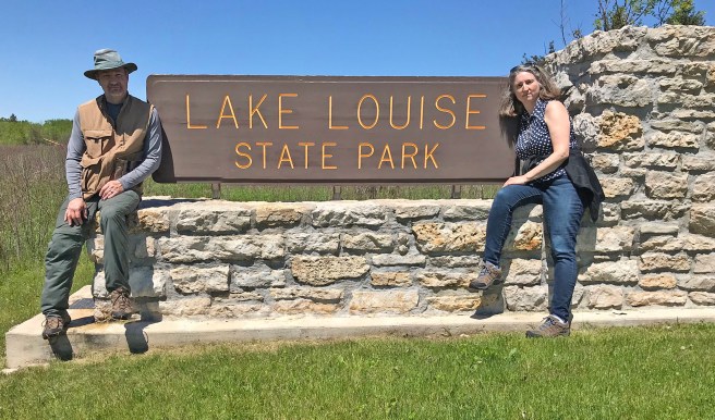
I had this fun idea of trying to get a picture of me kissing Kris on the cheek at the park sign, except of course it was just the two of us taking photos, so we had to take the two photos separately and hope that our photography wizard would be up to the task. He was. He put a bunch of photos together nicely for us (thanks, Rich!).

The hike at Lake Louise would be short, a nice break-in hike after our hiatus: 1.3 miles. The hiking guidebook told us that we could expect to see “an array of wildflowers – including the nodding wild onion…” Well! If the prospect of seeing a wild onion wasn’t enough, the prospect of seeing a nodding one bumped up the excitement level. Lake Louise itself looks like a river. In fact, if you look at a map (and we did), it seems to be a mere widening of the water between Little Iowa River and Upper Iowa River. Who decides whether or not a body of water is a lake?

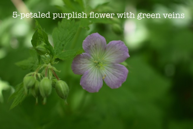
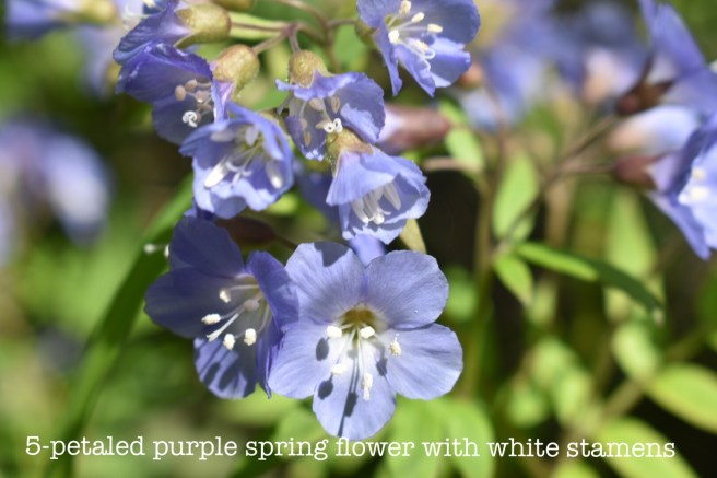
Our progress at the beginning of the hike was somewhat slow, hampered by my insistence on stopping to take photos of all the flowers. I plan to go the extra mile for you by actually looking up the flowers to identify them.

We realized we wouldn’t know a nodding wild onion if it nodded to us and said hello, but figured since we are well acquainted with the domesticated variety, how different could it be?

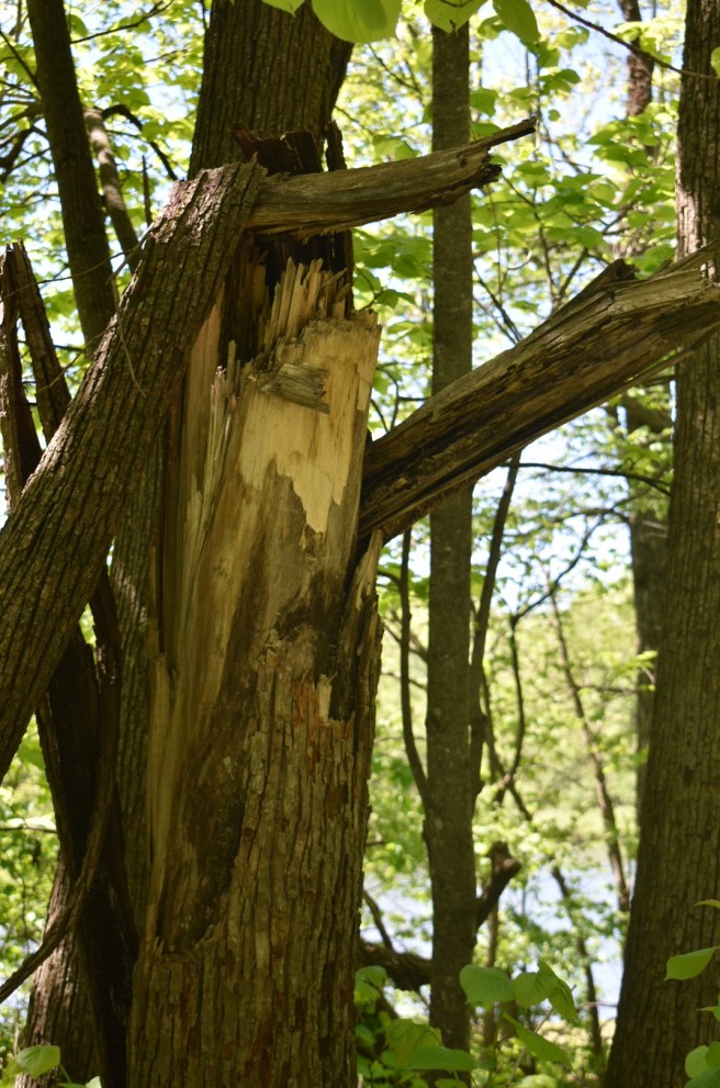
Early on, we came across this tree that had been toppled by a storm, but the first thing that came to my mind was: Godzilla has been here. Once you have monsters on the brain, it’s hard to shake. Better by far to remember the powerful voice of the LORD:

The voice of the LORD is powerful; the voice of the LORD is full of majesty.
The voice of the LORD breaks the cedars; the LORD breaks the cedars of Lebanon.
Psalm 29:4-5

As usual, I kept my eyes open for wildlife and ended up capturing quite an interesting assortment of fauna, starting with real things and then delving into the fanciful. To start out with, here’s a fellow traveler:

And here we have about a million frogs. Can’t see them? We couldn’t either, but we could sure hear them – quite the froggy chorus was going on:

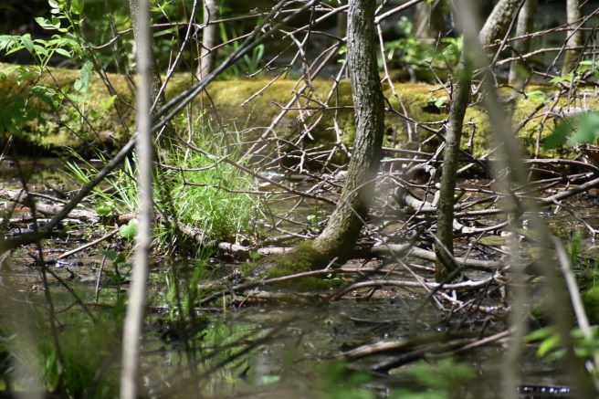
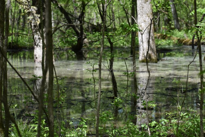
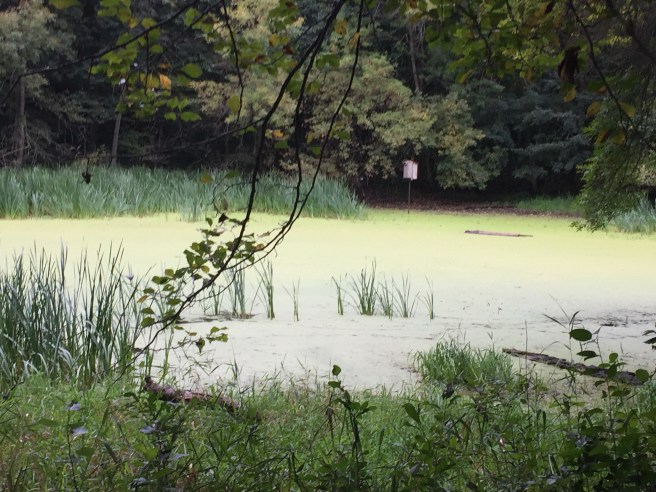
When we passed this stagnant pool, we both thought of the Creature from the Black Lagoon (monsters again). Could he be lurking just below the surface? Who could forget that scene from the movie in which the beautiful damsel is swimming and the creature is swimming in eerie symmetry under her in the water below…

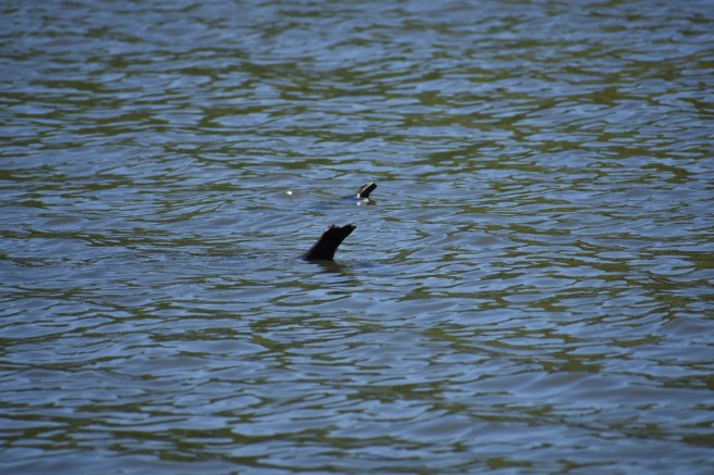
And last, but not least, here we have two playful otters poking their heads above the water. Imagination is a wonderful companion on a walk through the woods:

So, the burning question on all your minds is this: did we find the wild onion? And was it nodding? I managed to get a really good photo of the wildest onion in the woods, swinging along on a hanging branch just like Tarzan:

INTERMISSION

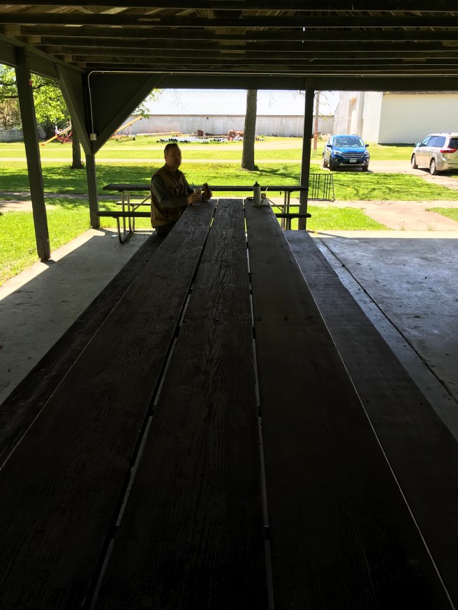
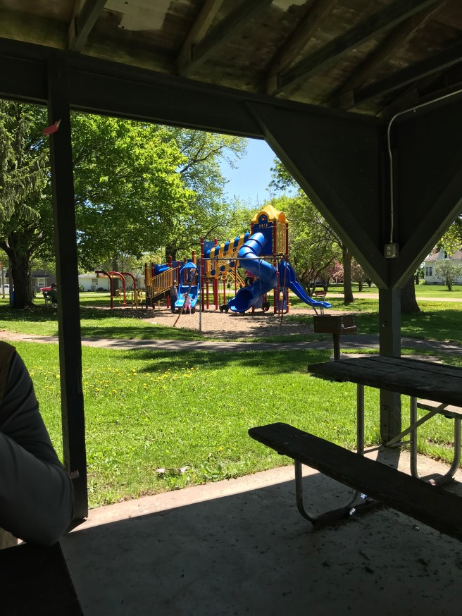
By now we were feeling a bit peckish and decided to stop in tiny Leroy for some grub. I love small towns – it’s like stepping into Mayberry no matter where you are. We stopped in at a BP convenience store and while making our purchase, exchanged the usual greetings with the teenager at the cash register. Upon being told to have a great day, he said, “It would be a lot better if I didn’t have to work.” “Ah, but then you wouldn’t be making any money,” I countered, feeling it my duty to impart some wisdom and perspective to a fellow clearly in need of some. To his credit, he cheerfully granted my point. We found the city park, sat at a picnic table, and ate our victuals to the sounds of lawn mowers and children playing on the playground equipment. ‘Twas perfect.

Total number of Hiking Club Hikes: 10. Total number of miles: 22.4 Next stop: Forestville/Mystery Cave State Park. I’ll probably delete this in the morning…

Next Hike: Forestville/Mystery Cave State Park
Minneopa State Park: Wintry Musings

After taking a couple months off of our hiking adventures, we decided to start up again on a not-too-cold-for-Minnesota day in January. We’d been to Minneopa earlier in the year on a day that so humid we just ate our lunch, took a quick little walk over to the falls, snapped a few photos, and hastened back to our car. We weren’t members of the illustrious Hiking Club then, which is probably just as well – I’m not a big fan of hiking (or even moving about languidly) when the weather is sultry.

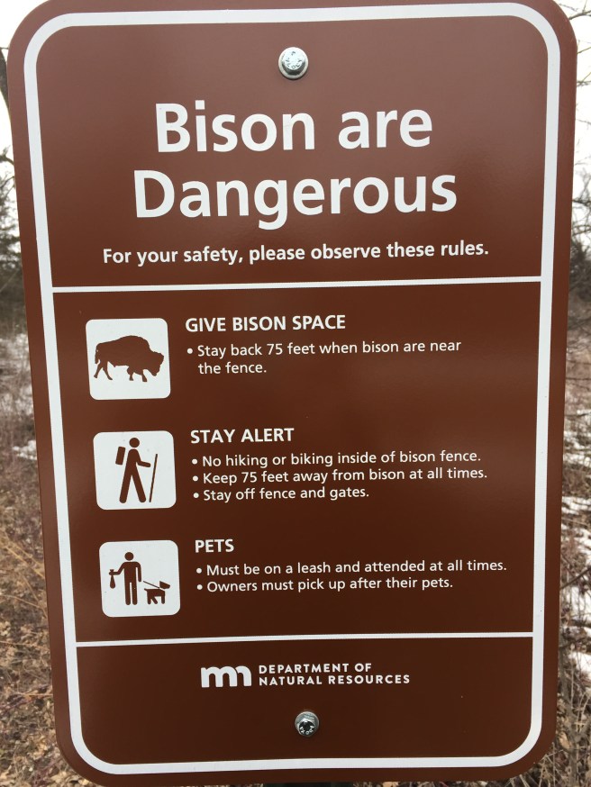
Minneopa State Park has two entrances, each one boasting of a main attraction: the waterfall entrance and the bison entrance. (Spoiler alert: We saw neither the waterfall or any bison. But keep reading anyway – something interesting might turn up.) They had two signs, which sort of made up for the shameful lack of a sign at Tettagouche State Park.
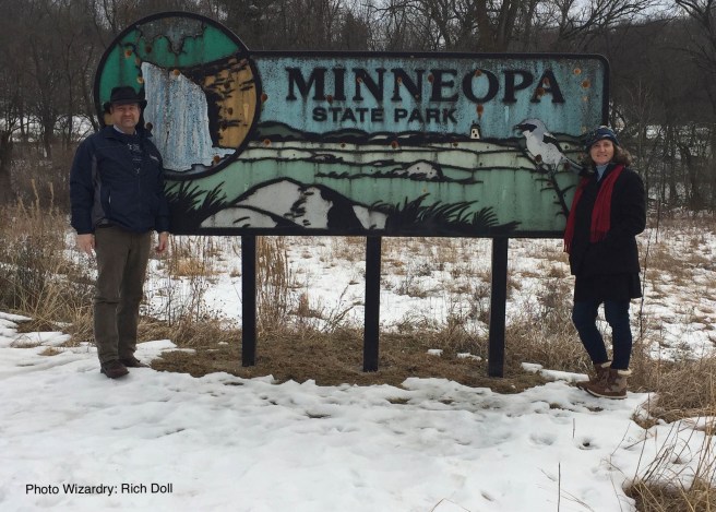
The sign above was by the waterfall entrance and looked very much like someone had been taking pot shots at it. Woodpeckers maybe?

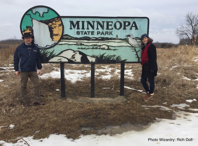
Even though the signs are the same, we had to get two photos because I knew I’d be desperate for content.

First of all, I was in a funk and took a grim sort of pleasure in the fact that it was a cold and dreary day, all the better to mirror what was going on inside me. Yes, I’m that self-absorbed. Nevertheless, as we started out on the 2.7 mile hike, we were determined to enjoy what the park had to offer on a wintry day. As usual, Kris played the part of pack horse, toting along our water and victuals.

We felt very much alone as we walked over the snowy and icy trail. It was unusually quiet as well, although I heard a distant blue jay at one point. We plodded along surrounded by leafless trees and barren bushes. We came eventually a sign indicating that we were going to be near where the bison are fenced in and naturally, warnings had to be made that bison can be dangerous.

We found it amusing that the directions tell you to stay back 75 feet when the bison are near the fence. The trail goes along fairly close to the fence, maybe 15-20 feet away at the most. There’s nowhere else to go, either. In spite of all these dire warnings, we would have welcomed the sight of any bison near the fence or in the distance. Alas, they must have all been feeling rather introverted that day, since they stayed well away from any human contact. Kris thought it would make a great April Fools Day prank to change the sign replacing the word “bison” with “velociraptor.” Tee hee.

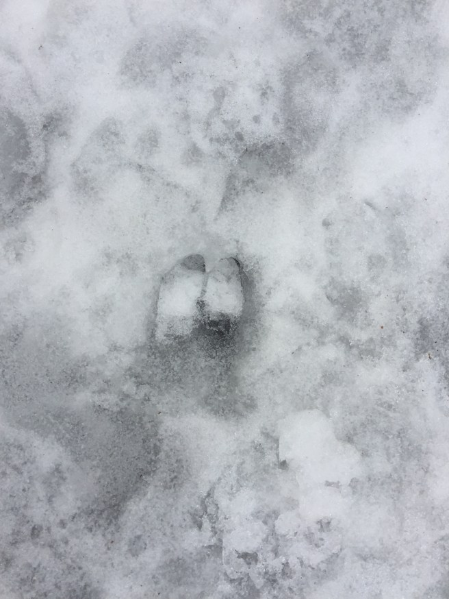
That would certainly shake things up a little bit at the park, wouldn’t it? As it was we had to be content with the more ordinary sights of oak leaves on the snow and an occasional deer print.

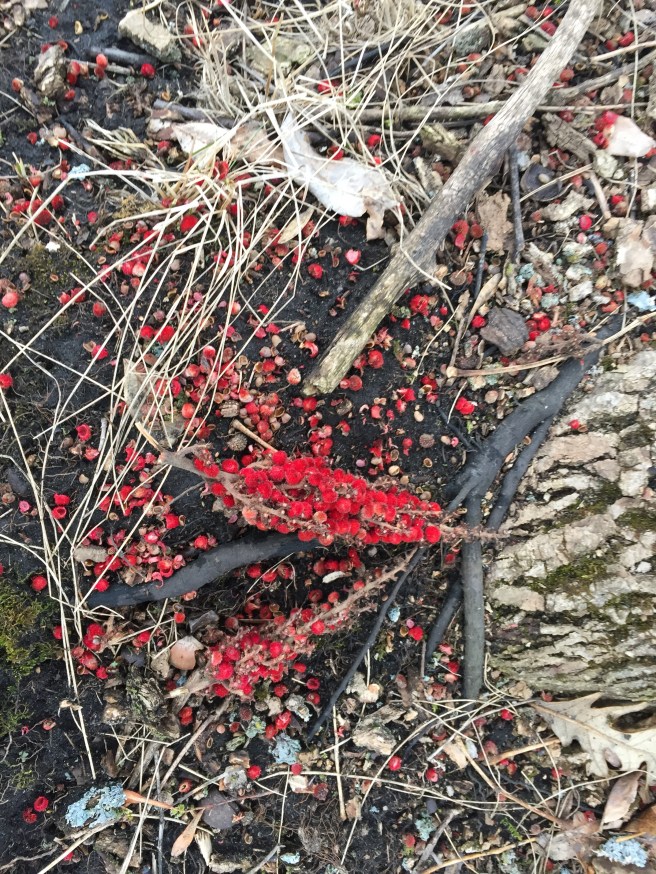
You can imagine the excitement when in the midst of this bleak landscape, we spotted some color in the form of a fallen branch of sumac. Praise be to God!

Why is it that we hunger for color like that? And how kind of God to provide it like manna in the wilderness. Feast your eyes on it for a moment… We did.

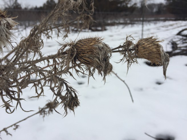
There’s a sort of haunting beauty to winter landscapes after all. Everything is dead or dormant, gray or brown, all skeletons and tombs. All that you see is pared back to the essentials. But how glorious to know that the resurrection of spring is always under the snow, right around the corner, hiding in the bare limbs of the trees. Seeds fall and die and just when all seems lost, they begin the whole marvelous dance of life anew. “Truly, truly, I say to you, unless a grain of wheat falls into the earth and dies, it remains alone; but if it dies, it bears much fruit.” – John 12:24

It’s a comfort to ponder such things when one is feeling much like a pared-back landscape, like a fallen seed.

I’ll probably delete this in the morning.

Next Hike: Lake Louise State Park
Tettegouche State Park: Up and Down, Up and Down

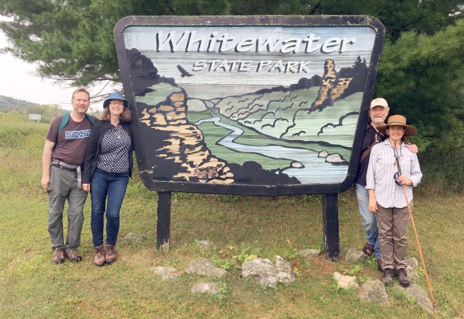
The headline shocker here is that Tettegouche State Park has NO SIGN. We thought we must have just missed it, so I asked one of the park employees, who looked somewhat puzzled at the question (“A sign? No, we don’t have anything like that.”). Well, there ya go. We had to improvise, posing instead by a random park events sign and having our photo editing guru (thanks Rich) insert a photo of part of a poster we saw in the park store into the sign, in addition to putting us magically in the same photograph. He is definitely overworked and underpaid.
Although we’d just been to Gooseberry Falls State Park in the morning when it was sunny and nice, by the time we got to Tettegouche, the sun had gone behind the clouds and the wind had picked up. While it wasn’t exactly the “gales of November came early,” it was a bitter cold wind, especially when we were out in the open. In addition, I was definitely beginning to feel my lack of in-shape-ness (legs tired, feet sore), so it was encouraging to note that the hike was only 2 miles – 1 mile out to Shovel Point and then 1 mile back.
As we started out we passed a sign pointing the other direction saying that if we wanted to hike only 600 more feet (after getting back) we could also go see where the Baptism River let into Lake Superior. Kris indicated he would definitely like to do that; I remained silent, hoping that the topic would never come up again. Hey, I told y’all from the beginning how wimpy I am – I see no reason to start pretending that six or so hikes have made me into hiker of unbounded energy. I was still taking photos, but that camera was starting to hang heavy around my neck (not quite as heavy as the ring around Frodo’s neck, but getting there). Beauty is always worth capturing.

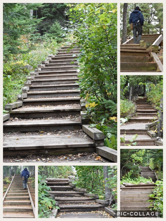
The first part of the trail was largely composed of wooden steps. There were steps going up and then steps going down again. Up. Down. Many, many steps, mostly going up. We climbed them all, so the least you can do is look at them.

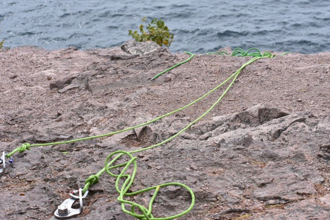
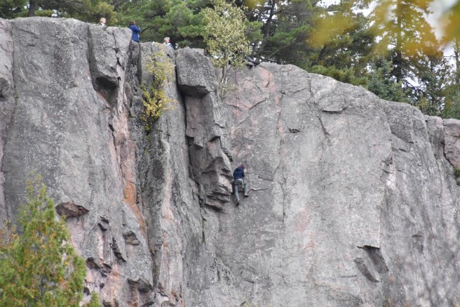
Along the way, we got closer to Shovel Point, but we were up on a cliff edge of sorts, so we began to see little groups of rock climbers. I’ve never understood the appeal to rock climbing/mountain climbing, but then I am not much of a thrill seeker.

At Shovel Point we sat and had our energy bars, but were so buffeted by cold winds that there was no desire to linger. Still, to look out on all that powerful moving water is a wondrous thing – it grabs hold of you and keeps your gaze, the unheard voice saying “Look at me!”

On the way back, we stopped and talked to the head of the climbing expedition, a nice young man overseeing even younger men and women. He was a stalwart fellow that had grown up in northern Minnesota. He pointed out the fallen Tettegouche Arch, which I had taken a photo of earlier, not knowing what it was. The arch fell some 4-5 years ago and caused quite a bit of shock and dismay among the locals. Gordon Lightfoot could have done a good ballad about it: “The Fall of the Tettegouche Arch.”

When we arrived back at the beginning, it turned out Kris had not forgotten about the extra little hike down to Baptism River. Rats. Well, in for a penny, in for a pound, so down we went. Down, down, down, down… It turned out to be a sweet, quiet little beach where the river got gently swallowed up into the lake. I walked across the rocks, savoring that unique sound of boots crunching into the stones, and looked for a time into the shimmering reflections of autumn in the water.

Why did I have to be talked into coming here? I need to learn to be more willing to push myself, to see more, do more…

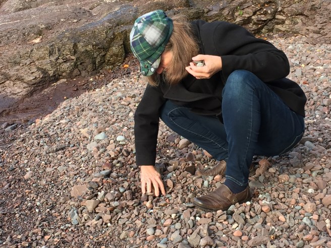
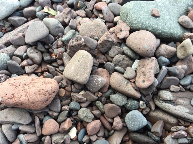
Before we left the north shore the next morning, I did get to indulge in a few minutes of my favorite pastime up there: picking up rocks, looking for agates. I didn’t find any, but the joy is in the looking, too.

And the stones sang of their Maker.

I’ll probably delete this in the morning.

Next Hike: Minneopa State Park
Gooseberry Falls State Park: A Song, Romance, and LOTR

Don’t tell me you haven’t been to Gooseberry Falls State Park yet – c’mon! It’s a very popular place in Minnesota, as evidenced by the crowded parking lot and oodles of people there the day we went for our hike. We’d been there several times with our children and always to see the falls. Who knew there were hiking trails? The hiking club trail was a mere 2.2 miles and although it was only 43 degrees, it was mostly clear and sunny. We made a short stop in the amazingly large visitor center/gift shop and then set out to leave the crowd behind.

As usual, I’m pretty peppy at the beginning of a hike and all full of enthusiasm about taking photos. It’s all interesting at that point and I know enough now to realize that by the end of the hike I’ll be passing by the same things with nary a glance.

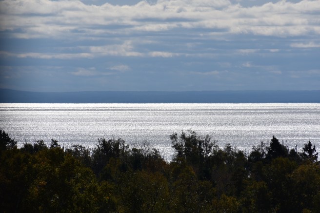
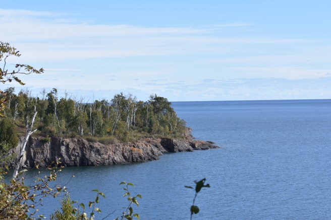
Soon we were rewarded with soul-filling views of Lake Superior.

As we walked along, we came to a place where you could see up the shore a ways and my husband broke into song. It’s true! It was a rousing little ditty he’d learned in his camp years about the rocky shores of Lake Superior. I wish you could have been there – it made the hike quite epic.

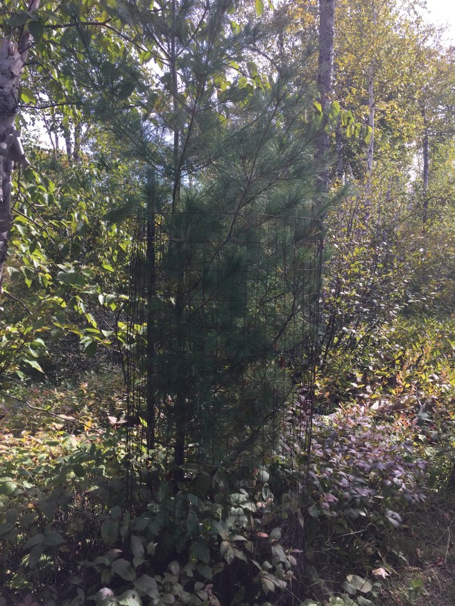
Along the way, we noticed little fenced enclosures here and there. Kris went to investigate and discovered that these were cribs for cute little baby white pines. Awww… We speculated that the fences were to keep deer from eating them.

Later on we passed one with a rambunctious teenage white pine in it, straining to get out.

This is the way of the world. You raise them up with prayer and protective boundaries and then one day, the fence has to come down and you have to let them face the dangers of the world on their own. But you still pray; you always pray.

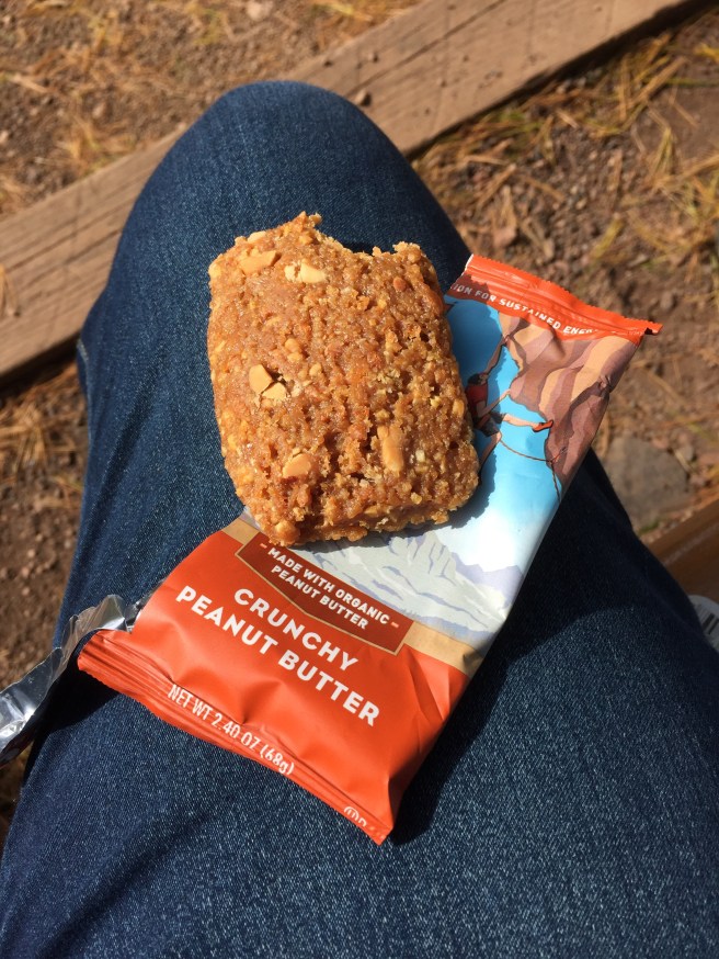
Near the end of the trail, we found a cozy bench and sat down to enjoy our repast of a Clif bar and some water.

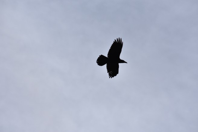
Some large birds of prey were circling overhead and Kris said nobly that if they flew down and grabbed me with their talons, he’d hold onto me and not let go. Who needs chocolates on Valentine’s Day if you can get a nitty gritty declaration of love like that?

We mused about how if those were large eagles, one of them would be Gwaihir, and this could be like the scene in Lord of the Rings when Frodo and Sam are stranded on Mount Doom after throwing the ring in, with the mountain crumbling down around them. Kris looked at me and said, “I’m glad to be with you here, at the end of all things.” No chocolates needed.

Another 2.2 miles down, 16.4 miles accumulated toward the first 25-mile patch. Next stop: Tettegouche State Park, just up the road apiece.

I’ll probably delete this in the morning.

Next Hike: Tettegouche State Park
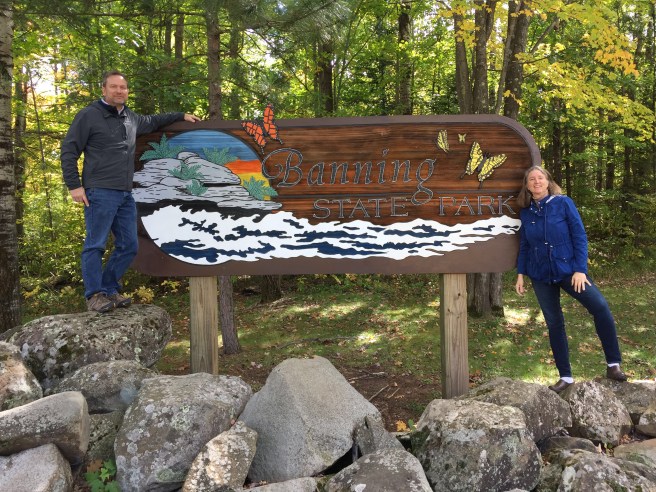
Banning State Park: Hell’s Gate and Dragon’s Tooth

We planned an ambitious weekend: 3 hikes in two days: Banning State Park, Gooseberry Falls State Park and Tettegouche State Park. (Those of you who are clever will have deduced that there will be two more blog posts coming.) We’re really getting the hang of this thing! Banning State Park is the site of a former sandstone quarry, and part of the Hiking Club hike follows an abandoned railroad track from the Short Line of the St. Paul-Duluth Railroad that used to carry sandstone to the Twin Cities. (William Banning was president of that railroad company, so now you know important things.) We picked up a self-guided trail pamphlet at the park office and began the 2.6 mile hike which would also take us right by the Kettle River.

The trails were named Trillium Alley, Cartway Trail and Quarry Loop. On the day we were there, they would have been more aptly named Falling Red Leaf Alley:

Muddy Rut Trail:

and the Pine Needle Carpet Loop:

The act of naming is a dominion task and I wanted to take what little dominion I could.

There were numbered posts along the way, each one corresponding to a section of the pamphlet we picked up, so we dutifully stopped at each one and read the information.

In between these educational moments, we chatted about how quite a few of our friends or rellys have indicated an interest in joining us on a hike. This got us wondering if we could use the hikes as a springboard for an interesting talk show, much like Jerry Seinfeld’s “Comedians in Cars Getting Coffee.” We could call it “Hikers in Boots Getting Tired.” It has potential, don’t you think?

We came to a sign that directed us to Hell’s Gate Rapids – it would take us off the official hiking club trail but seemed well worth it, considering we’d finally be right down by the river. Plus, the name “Hell’s Gate Rapids” arouses a certain amount of curiosity. The pamphlet told us that it was named by loggers who “struggled with many log jams in the narrow passageway.” It’s also supposed to be one of the state’s most challenging and dangerous river experiences for kayaks and canoes. We stopped along the way to sit on a rock by the riverside and partake of a trail bar (an important tip we picked up from Dave and Julie last time).
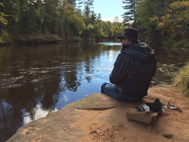
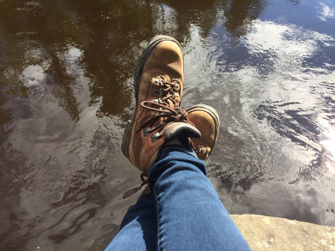
The hike to Hell’s Gate Rapids was definitely more rugged and challenging and when we finally got there, it didn’t seem like the rapids in front of us could possible be considered a hell’s gate. We either didn’t go far enough, or it’s a lot more hellish at other times of the year. Both might be true, actually.

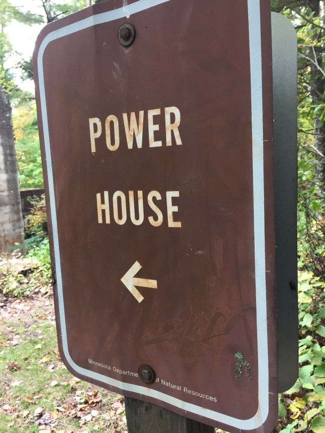
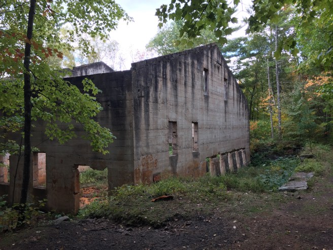
Back to the regular trail and more sandstone production and transportation trivia. It was rather fascinating to think of the bustle of activity at this site back in its heyday. One of the last places we passed was the old power house in which was the generator that powered the jack hammers. Kris thought Power House would be a good name for a church. I can almost hear Captain Jean-Luc Picard saying to someone “Make it so!”

At the end of the trail we had to climb up some steep stairs to get back to the parking lot and there ran into another hiker who was also looking for the parking lot, unsuccessfully. We stood around looking at the map, trying to guess which way to go, but then a young couple ambled by and pointed us in the right direction. We were up on a ridge by this time and heard and saw the roaring and roiling of Dragon’s Tooth Rapids below. If Hell’s Gate was worse than that, I had a new respect for it. And by the way, the rapids naming people really stepped up to the plate here at Banning, didn’t they?

Lest you think all we saw was the river and the old sandstone works, I want to note officially that there were lots and lots of trees as well (red and white pines and aspen). And boulders. And some plants and mushrooms. You get the idea.

I need to make an announcement that will surely cause wails of sorrow and denial from my loyal readers: I’m giving up on the Flora and Fauna collage. No amount of begging will change my mind (although I would be delighted if there was some). The only fauna photo I snagged at Banning was this one:
Those of you with small screens are probably wondering what this photo has to do with fauna, but if you look very carefully, you’ll see a small silhouette of a bird alighting on a branch. A bit of a step down after that deer photo at Whitewater. I’m admitting defeat and moving on.

We’ve now done 14.2 cumulative miles toward our first 25-mile patch!

I’ll probably delete this in the morning.

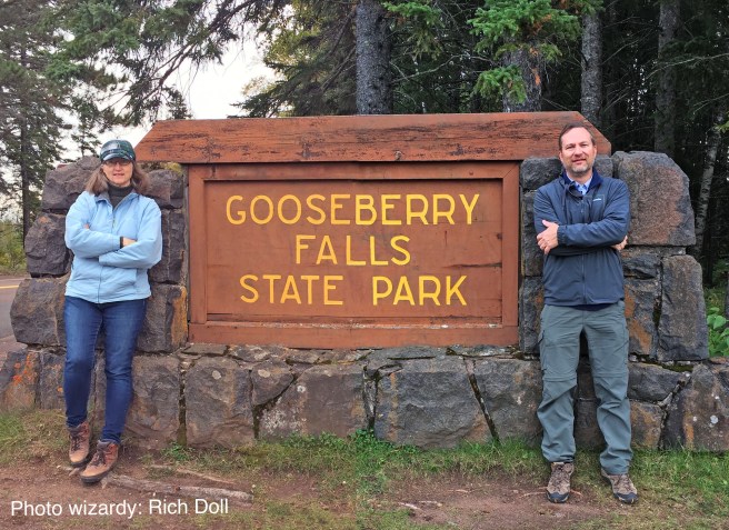
P.S. Thanks again to my B-I-L Rich for doing the traditional “Us By the Park Sign” photo editing. Too bad for him I’m not giving up on that one. 😉

Next Hike: Gooseberry Falls State Park

Birds of a Feather

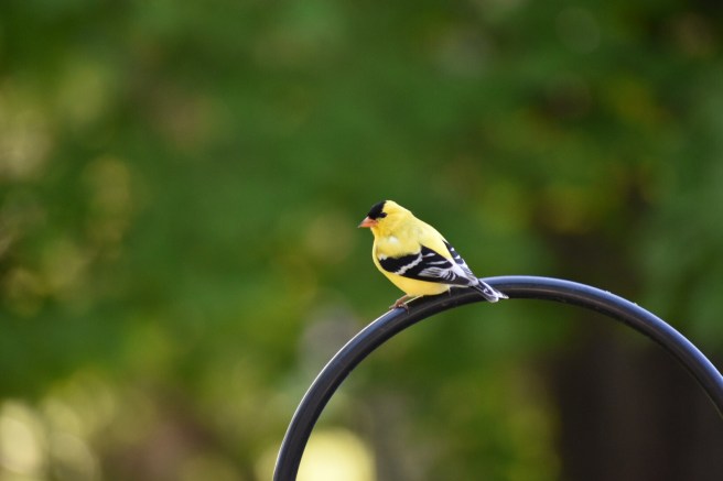
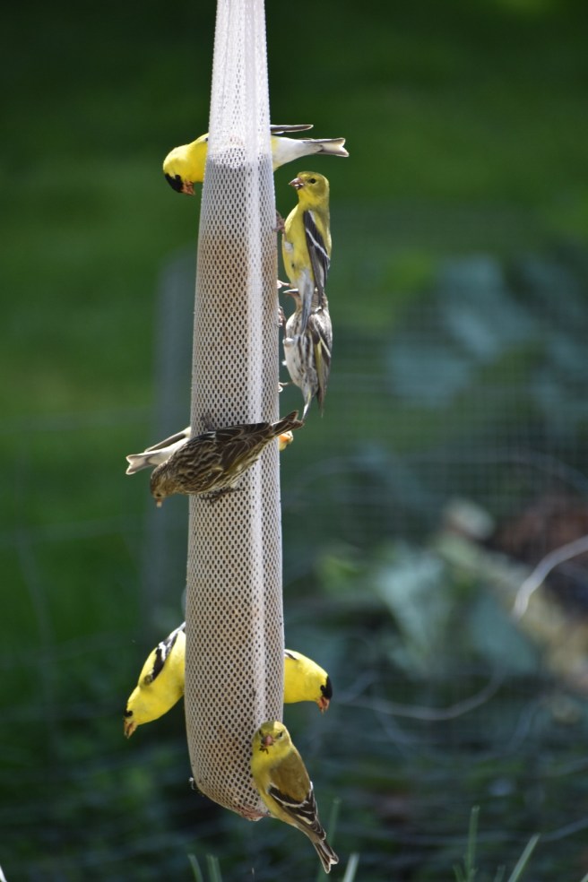
I can’t seem to resist taking photos of the birds on our bird feeder. At least you can see the eyes and beak on this one (see my earlier post “Face Off” if you want to know the backstory on that comment). Goldfinches are so strikingly handsome, aren’t they? At times there’s been a whole party of them on the feed sock:

I like how the bird on the bottom is looking right at the camera. If there was a thought bubble by her head, I think it would say “Sheesh – the paparazzi are here again.”

I’m actually a very poor bird caretaker, or should I say, a fair weather one. At the beginning of winter, I make vague promises to the bird world in general that I’ll keep their feeders filled during the long cold months when food is scarce. Then it gets really cold and all bets are off. They seem to survive my periodic neglect and don’t hold it against me. And God provides for them, even when I am forgetful and faithless. It’s hard to imagine a bird sitting in a tree fretting about where the next meal is going to come from.

Random meanderings on birds has been brought to you by…

I’ll probably delete this in the morning.

Whitewater State Park: Shared Beauty

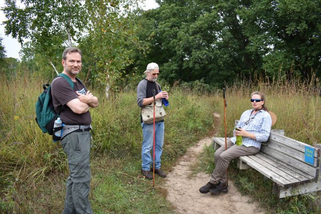
Somebody gave me a framed quote a long time ago: “To share with a friend is to see twice the beauty.” I’m here to tell you that’s not just a schmaltzy poster sentiment; it’s absolutely true. Our good friends, Dave and Julie, came along with us on our latest hike since we were going to be in their neck o’ the woods and they turned out to be wonderful hiking companions. We saw a double dose of beauty through their observant eyes. Come along with us and I’ll show you what I mean.

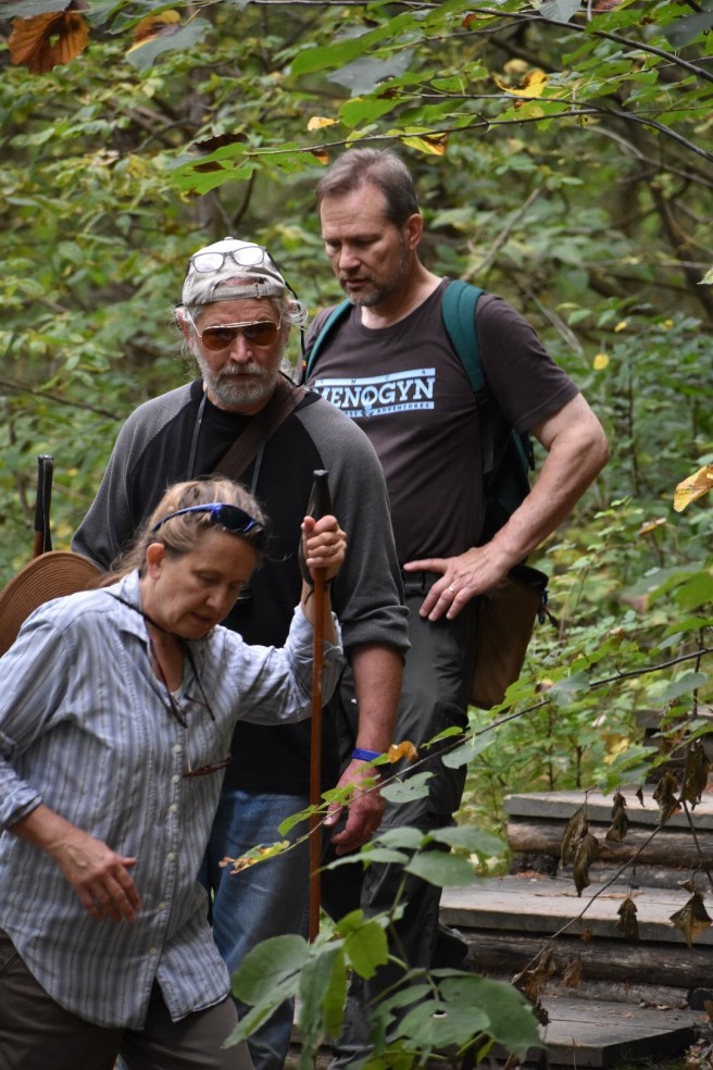
Photo editing: Rich Doll (again – he’s been infernally kind with my requests to stitch photos together). Dave and Julie came equipped with old ski poles for hiking sticks, clearly demonstrating that this was not their first rodeo. This was another 2.2 mile hike, but appearances, as we were to find out, are deceiving. When the description of the hike contains the phrases “climb to the bluff top” and “hike to the valley floor,” you know you’re going to be in for a workout.

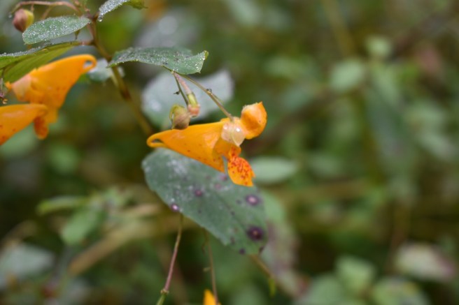
I stopped to get a photo of a lovely flower and Julie said, “Oh, that’s called “Touch Me Not,” or “jewel weed.” She explained how the seed pods become engorged when mature and if you touch them, they explode. It turned out that hiking with Dave and Julie was like being with nature guides sharing actual wood lore. We took more frequent stops to investigate and identify things, but at my age the prospect of more frequent stops is a blessing. Bring it on.

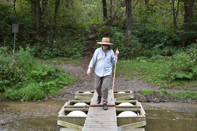
Early on we came to a “bridge.” It looked somewhat unstable and perhaps would have been if the water were high and rushing, but it was a tranquil stream and we crossed over without incident.

I think if I’d been holding a ski pole, however, I would not have been able to resist the temptation to strike the bridge, calling out in stentorian tones “YOU SHALL NOT PASS!”

The path from there led us straight uphill for a time (imagine a lot of heavy breathing and you’ll get a good idea of the sounds above my boots). A bench appeared in the wilderness inviting us to stop for a spell. Dave wandered off through the high grass and found some deer beds – areas of flattened grass.

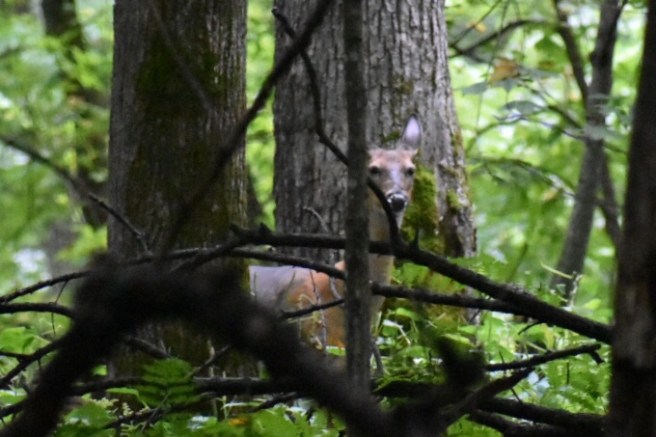
We entered back into a woodsy area and before long, someone spotted a deer or two. We froze in our tracks, reduced our voices to whispers and Dave got out his binoculars to get a closer look (does it surprise anyone that they brought binoculars?). I had my Nikon with me (finally!) and with the zoom lens managed to get a fairly decent photo of his head. Fauna picture: check.

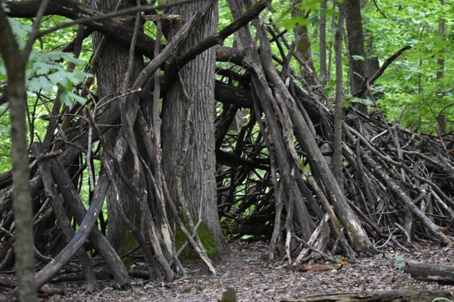
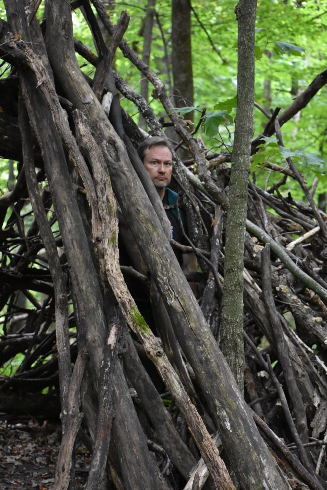
Someone had built a charming tent out of branches – just my kind of thing. If we’d had time, I would love to have stopped there awhile sitting in the enclosure, reading, praying, thinking, taking photos, drawing… Maybe next time.

We did see a two-legged creature peering out from the branches at us, but he looked fairly harmless.

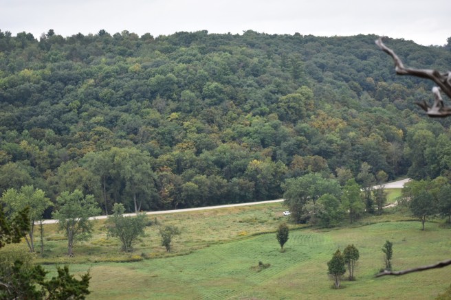
We came at last to the pinnacle of the hike: Coyote Point, a beautiful place to stand and look over the Whitewater River Valley. Glory to God in the highest!

After a learned discussion between Kris and Dave about different types of oak trees, it was time to start back down to the valley from whence we began. The trip down started with a narrow and steep stairway, one of those that you have to turn around to go down. Why did this make me nervous?

The rest of the downward path wasn’t nearly as steep and had a wooden stairway for much of the way, so let us pause and applaud the Herculean efforts of those who built steps into the side of a hill so that the rest of us could saunter down with relative ease.

As we walk downhill,
Boots clattering on wood,
The present blurs with the past
And I see them alongside us,
Hands from long ago
Cutting trees, moving stones
Digging dirt, placing boards.
And though they see me not,
I make mental salute.
Thank you.

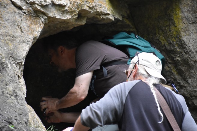
We’d already seen so much on this hike that it hardly seemed possible there could be more, but on our way down, we went by a cave, which definitely needed investigating. Caves are so mysterious, aren’t they? A black, yawning hole whose depths cannot be penetrated with the eye. In my imagination, that blackness is inhabited by either a human skeleton or a wild beast whose eyes glow menacingly at you in the dark. I stayed back and took photos (imagination has made a coward of me more than once).

At the end of the trail, Julie fished a few yummy trail bars out of her pack and shared them, thus establishing herself as a Hiking Companion Extraordinaire. We still had some distance to walk to get back to the cars, but good conversation made the rest of the journey short and sweet. We loved this hike, not only for the beauty and diversity of the trail, but also for the company we kept.

“The works of the Lord are great, studied by all who have pleasure in them.” Psalm 111:2. I am learning how to study with pleasure instead of just plodding through with my eyes on the finish line.

I’ll probably delete this in the morning.

Next Hike: Banning State Park

Sakatah Lake State Park – The Singing Hills

We pass by this park every Sunday on the way to church, so why not just leave a couple hours early and sneak a hike in? And lo, it came to pass.

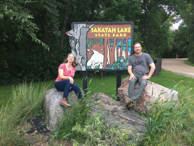
We’ve been impressed with the quality of the state park signs. Once again, my esteemed and talented brother-in-law has taken two photos and made them one. He assures me this isn’t rocket science, but as far as I’m concerned it might as well be. Photo editing: Rich Doll.

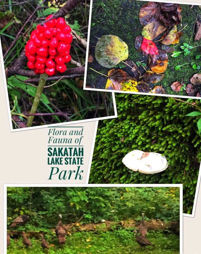
Things got off to a great start, since the very first thing I saw when we pulled in was a group of wild turkeys. The elusive fauna at last!! No need to rely on photos of beetles or dead animals. What I should have done was rolled down the window verrryyyy quietly and taken the photo. Instead, I got out of the car and they all fled for the brush.

The office was closed, the park quiet and seemingly deserted, although we saw signs saying all the campsites were full. We set out on the Hiking Club trail, which was a Play in Three Acts: Hidden Pond Trail, Oak Tree Trail and Sumac Trail. Kind of gives you an idea of what to expect along the way, doesn’t it? It was overcast and the dense tree coverage made the air very close indeed, yet it was a mild 70 degrees, cloudy with a chance of mosquitos.

After passing several ersatz hidden ponds, we came across the real hidden pond (helpfully designated with a sign).

We tried to imagine what this area was like when the Wahpekuta people were the only ones living here. As we walked, the constant hum of insects lent a musical background to our conversation. Sakatah means “singing hills,” and what few little hills we trod up and down were certainly alive with the sound of music.

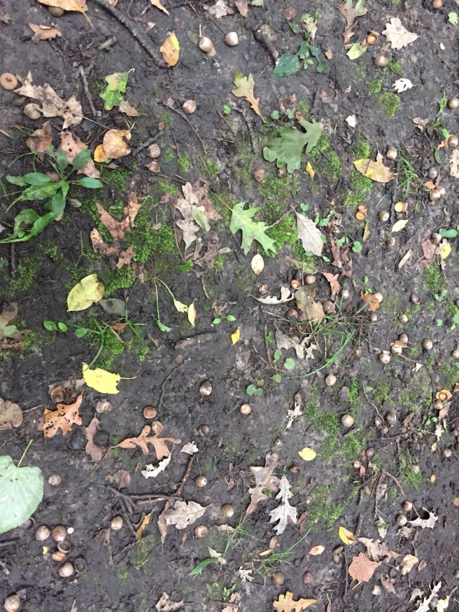
In no time at all, we were on the Oak Tree Trail, littered with acorns as a testament to its name.

We crunched along right over them and one of us said, “These acorns remind me of…” and the other one finished “…the skulls from the Paths of the Dead.” Great minds, right? When you’ve been married as long as we have, you no longer have to bother with finishing sentences. Kris thought the idea of acorns being the skulls of oak trees was poetry just waiting to happen, so I offer this up as a possibility:

We walked in heavy hiking boots,
The air was close, but sweet.
Acorns, the skulls of oak trees,
Lay strewn beneath our feet.

Needs work, but let’s not tarry. The transition to the Sumac Trail was subtle; the sumac didn’t jump out at us. By this time, we’d started speculating about why the Hiking Club wasn’t more “club-ish,” with group meetings, snacks and secret handshakes. Kris said, “Maybe there’s some cat poop out there,” which startled me out of my stupor. “Cat poop?” I inquired, vaguely shocked. “I said, ‘chat rooms,‘ not ‘cat poop.'” Well, shoot – that kind of thing also happens when you’ve been married as long as we have. It makes for very confusing (and amusing) conversation sometimes.

And now it’s time for the traditional flora and fauna collage. Ta da!

I’ve been a wee bit lazy about actually identifying the flora. Those brown blobs in the bottom photo are the turkeys. Sigh. Poor quality photos look even worse when cropped and enlarged, don’t they? That’s what I get for depending on my iPhone for every photo. Next time, I’m bringing the Nikon.

We finished the 2.2 mile hike in 45 minutes, record time.

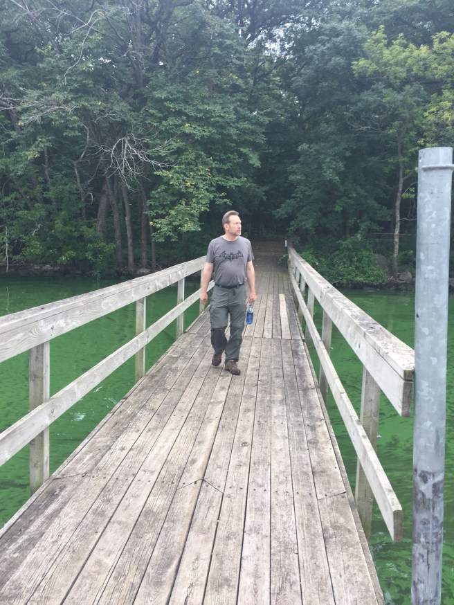
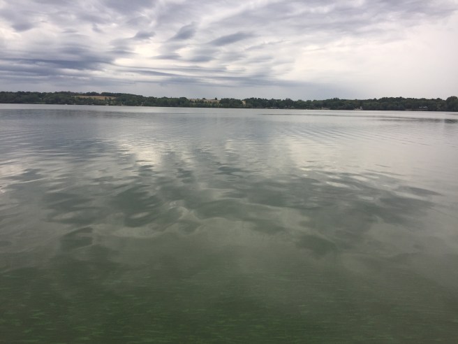
But where was the lake of Sakatah Lake State Park? Hidden ponds will not suffice, and reasoning that there must be a lake, we drove around until we found it. Ahh…

We sat on a bench on the floating dock for awhile; a motor boat had just gone by and the resulting waves made the dock move gently up and down while the rhythmic sound of those waves hitting the shore provided the perfect soundtrack. “Let’s come down here every week before church and have a quiet time on the dock,” said one of us. The other agreed. And our boots made it unanimous.

Have you not known? Have you not heard?
The LORD is the everlasting God, the Creator of the ends of the earth.
He does not faint or grow weary; his understanding is unsearchable. – Isaiah 40:28

I’ll probably delete this in the morning.

Next Hike: Whitewater State Park

Grandma Lois: Lemon Drops and a Wicked Right Arm

My Grandma Lois died when I was just 11 years old and my entire knowledge of her at that time was that she wore glasses that made her eyes look huge, and every time she came over, she brought lemon drops. That’s a pretty slim biography, but in the way of 11 year olds, my horizons were small and I was still at the center of the universe.

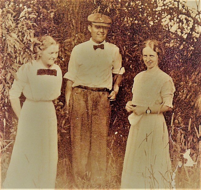
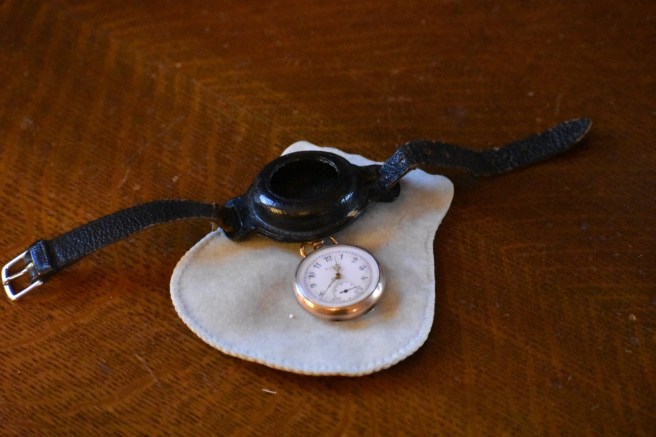
When I was 35 years old I gave birth to twins and to commemorate this grand event, my mom gave me Lois’s old watch, one that she received probably when she was 18, over 100 years ago now. With the watch, she also gave me a photo of Lois wearing it on her wrist.

She’s on the right, standing with two people whom she undoubtedly knew well, but are not labeled in the photo (although I suspect that the gentleman is my Grandpa Harry’s cousin Ben). I was given the original wrist strap that came with it and the watch itself still works, an old fashioned wind-up contraption of delicate beauty.

When I received the watch, my life was in a special era of delightful chaos and I didn’t have a lot of time to reflect on the woman who wore it first. More’s the pity.

Five years ago, my mom sold the house I grew up in and moved to a small apartment. I inherited all the family history documents and photos that she had collected during her years of genealogical zeal. Down the basement it went, a heap of treasure that went unappreciated and uninvestigated. I’m amazed at my appalling lack of curiosity.

Last year I was finally roused from my stupor and began sorting through and organizing the family data and discovered real people lurking in the pages, looking out from the photos. I have original letters written to and from Lois when she was in college. The shadowy lemon-drop lady began to take on more definition.

By far my favorite story about Grandma Lois was this one that my mother wrote down: “One story that Dad told me about Mom, he told with undisguised delight, I assume because it concerned a rival for Lois’s affections, a boy called ‘Dad’ M________. He was a football player and bragged to Mom of his fitness by encouraging her to punch him in the stomach. She didn’t want to but he insisted (never dare Lois!) so she did, and knocked him out cold.

Oh Lois, I hardly knew ye…

I’ll probably delete this in the morning.