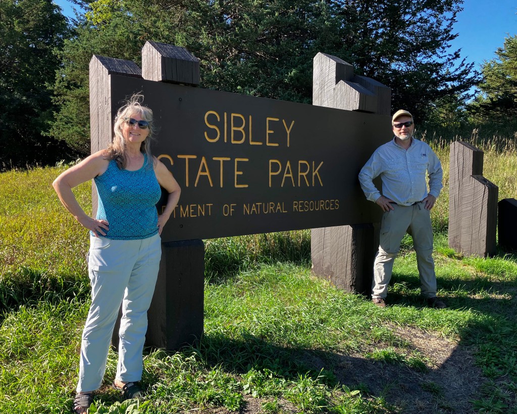
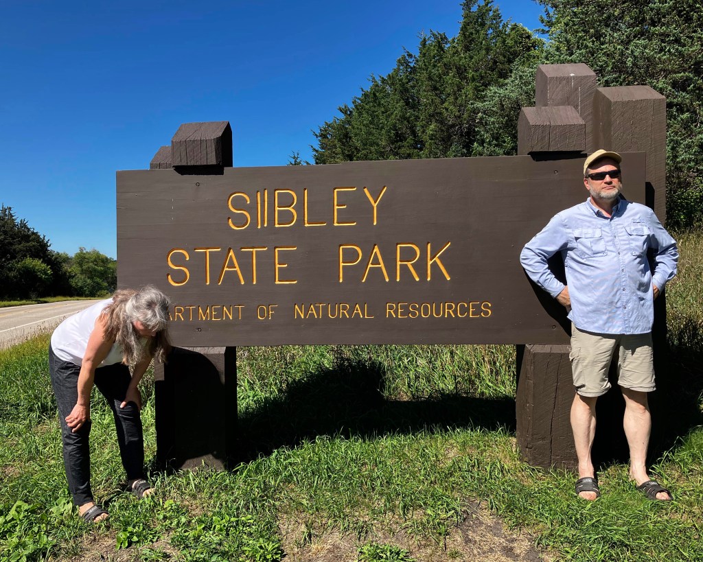
After the hike at Monson Lake State Park, we drove over to Sibley State Park to set up camp, planning to start the hike there early in the morning. We decided to do our state park sign photo ahead of time, just in case we forgot later.
Like Camden State Park, Sibley has two different campground areas and we took the one less traveled. Who wants to be surrounded by PEOPLE in a campground, for goodness sake? We found a lovely site that was like a hotel suite with two different “rooms,” one for the tent and one for the “kitchen.”

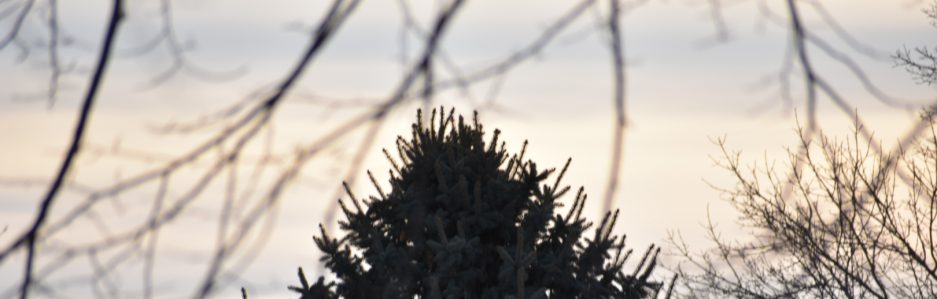
After supper, we sat by the glow of the campfire chatting quietly and enjoying the ambiance. Our tent was set up in a partial clearing so we could appreciate the stars through the sun-dome screen again. Ahh, this is the life!
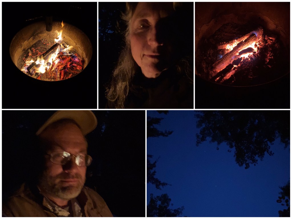
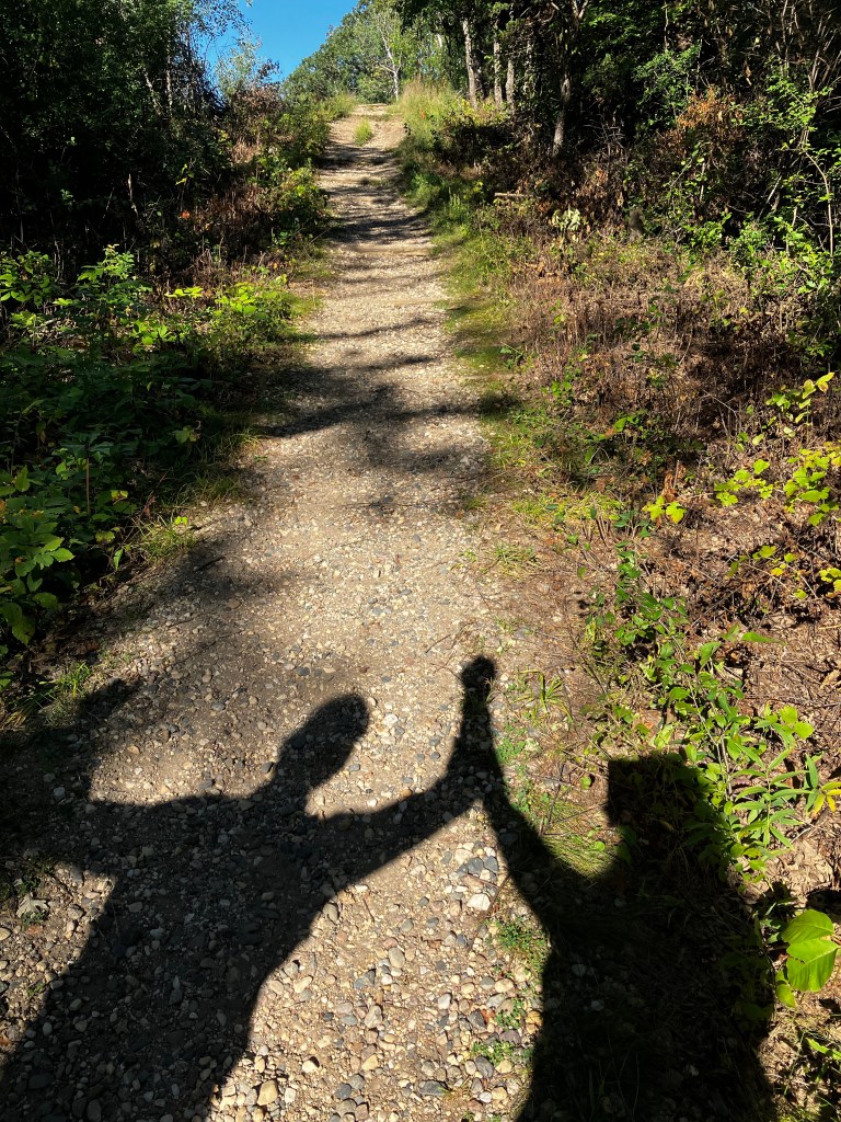
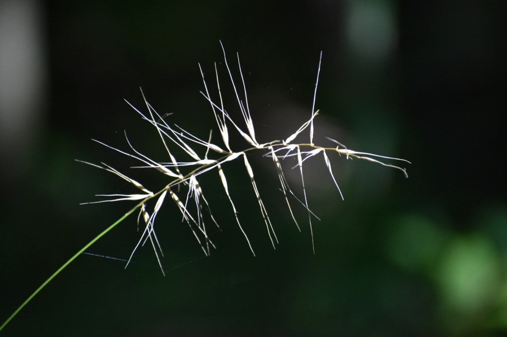
Despite our best intentions, we didn’t get on the trail until 9:00 the next morning, having decided to take down the tent and get the car all packed up so we didn’t have to do it afterward. I had it in my mind that the hike was 4.7 miles (an error – it was “only” 4 miles), so I wanted to get a running start, so to speak. Right from the get-go, however, the air was cloyingly humid, though it was only 67 degrees at that point. There would be no brisk walking from me. We’d walked only 5 minutes when we realized neither of us could remember locking the car. Kris went back to check and I found a shady spot where I could putz around taking photos. To my dismay, the auto-focus feature wasn’t working on my camera. Oh no! I took a few shots but each time had to focus manually. Then I realized that I had been using a special effect the night before in order to photograph the night sky. Ha! That was a complete fail, but I’d forgotten to switch it back. If I’d been paying attention to the photos on my tiny little screen, I would have noticed that they looked colorless. When I looked at them later, I thought they were kind of cool, so here they are, along with one I took when I’d set things right.

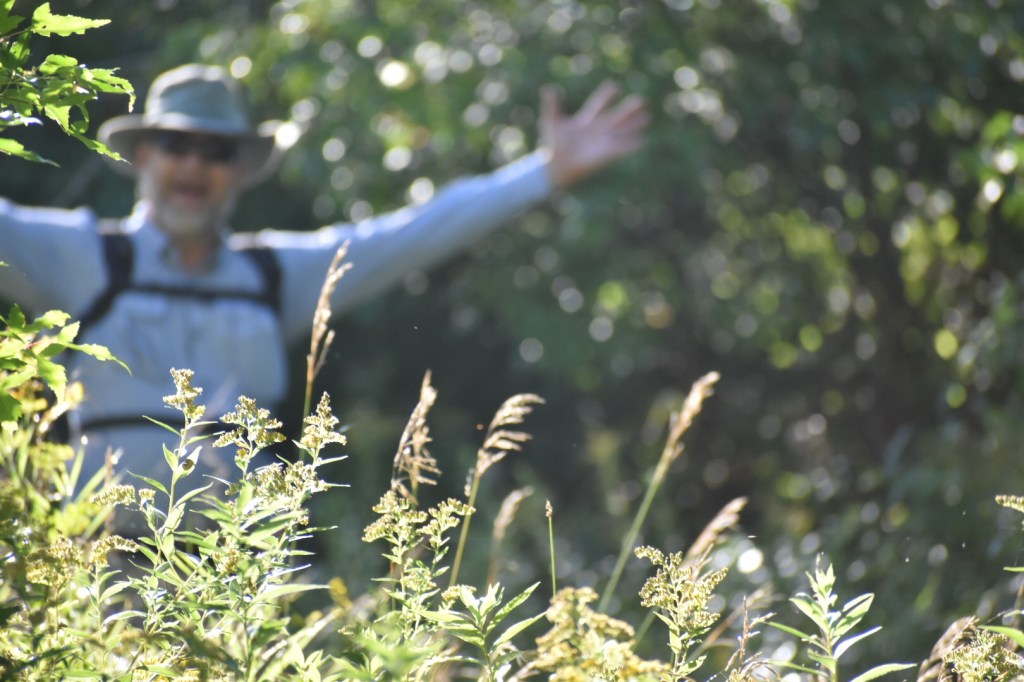
The entire time Kris was gone, I was standing right by a very detailed map of our hiking route, but did I study it? Of course not – I was engrossed in my own little camera confusions. I hid around a corner and got a fun shot of Kris making his grand entrance when he got back. (For the curious among you, yes, the car was already locked.)
We stumped along on the wide grassy path and I said, “Hey, there’s a stop sign! I’ve never seen one of those on the Hiking Club trail before.” We mused about the necessity of having hikers come to a stop and concluded that it must be for snowmobiles during the winter. Then we came to a “Do Not Enter” sign. This can’t be right. And it wasn’t. Way back when I was frittering away the minutes while Kris was gone, we were supposed to have taken a left at the sign. Kris checked the Avenza map and we discovered we could just cut over to the Hiking Club trail from where we were. Phew!

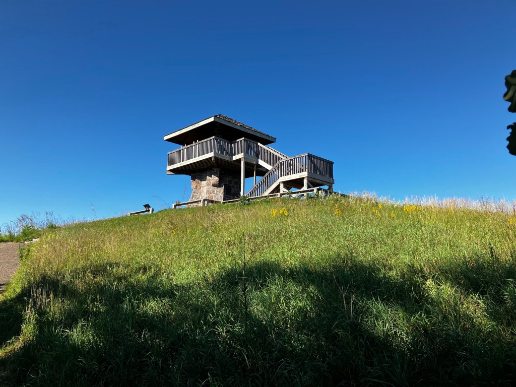
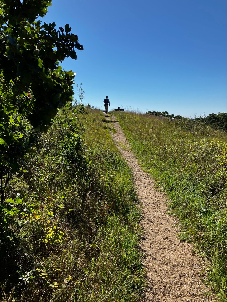
One of the main features of Sibley State Park is a high elevation point called “Mount Tom,” where the CCC built a tower in the 1930’s, but people had been coming to Mount Tom for centuries before that. It’s the highest point in Sibley State Park and one of the highest landmarks in the area. In fact, the whole point of establishing Sibley as a state park in 1919 was to protect Mount Tom and its environs. So naturally, we were going to be going to see Mount Tom, although it would mean a slight detour from the trail. However, the words “slight detour” didn’t dampen my spirits nearly as much as the words “high elevation.” That can only mean one thing – a lot of walking up hill. I had my knee huggers on and hoped for the best.

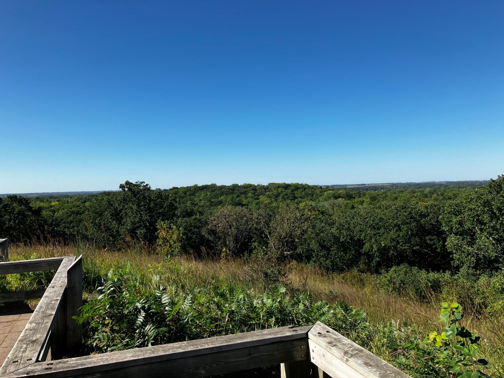
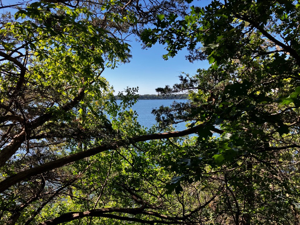
Around 9:30 I heard the first cicada – what late risers they are, I thought. Didn’t hear another one for an hour, so I think that the first one was sounding reveille and the rest of the group just ignored him. These are the kinds of things I think about on the trail when I’m trying not to think about how hot, humid and uncomfortable I’m feeling. We finally made our way up to Mt. Tom, somewhat of a relief since surely things would go downhill from here. While up on the tower, I decided to do an avant-garde way of taking a panorama of the view – one shot through each open doorway. I was patting myself on the back for the sheer cleverness of the idea, but then when I put them together in post-production later, I laughed out loud. It just looks stupid. Oh well…

And now, a little quiz to break up the post. How did Mt. Tom get its name?
A. It’s named after a guy named Tom.
B. It’s an acrostic meaning Tall Old Mountain.
C. It’s a shortened version of an Indian word meaning “Look-out Point.”
D. Nobody knows
You will perhaps be as disappointed as I was to learn that the answer is D.
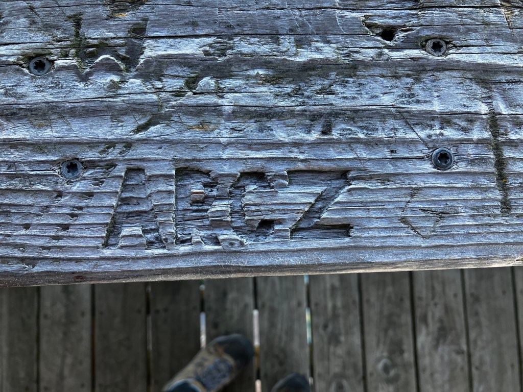
As you can imagine, there’s a lot of graffiti on a wooden structure like the Mt. Tom tower. These things interest me, so I looked at a few of them while Kris was enjoying the beautiful vista (of which I’d already taken note). It was mostly names, with occasional sentiments of love – some were scratched in and many were casually scrawled with permanent pen. But then I found one that had taken a significant investment of time. I don’t know who ARCZ is, but I tip my hat to him/her. Long after all the permanent pens markings and light scratch marks are gone, the mark of ARCZ will still be there.
We sat down for a light snack in the Mt. Tom parking lot and then set off to finish the job…er, hike. The downhill trek proved to be more or less uphill and then downhill, followed by more of the same, many times over. On one particularly steep downhill path, they had some sort of erosion-preventing plastic embedded in the dirt, which we’d never seen before.

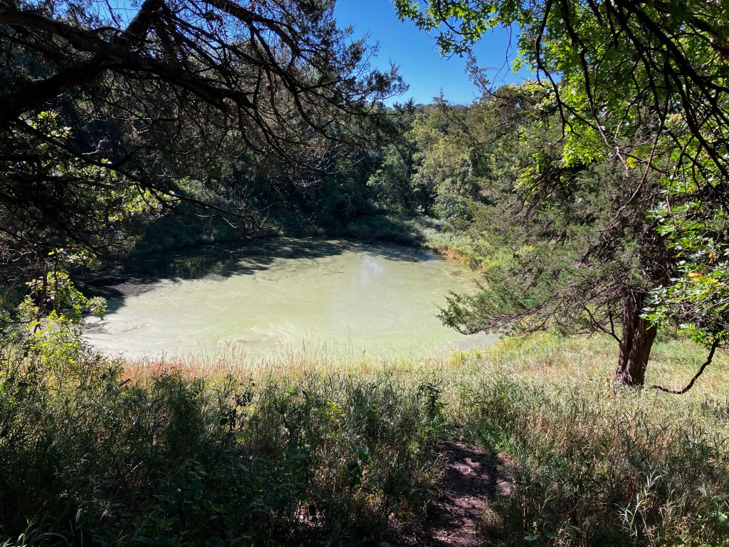
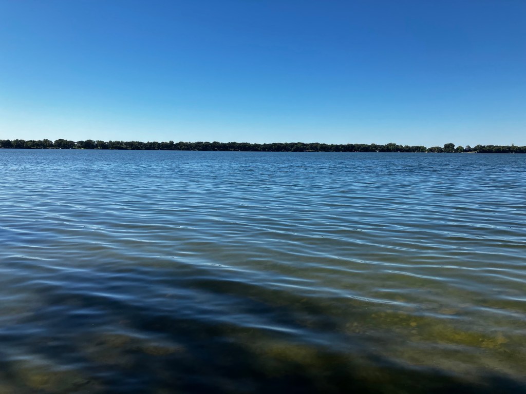
We began seeing signs saying that Lake Andrew was ahead, which was very hopeful, since Lake Andrew is near the end of the hike. In fact, when we were in the park office I had seen a poster saying “Andrew is calling!” which I thought was bizarre until I noticed the little word “Lake” over the word Andrew. Oh! I was definitely hearing the sweet call of Lake Andrew and could hardly wait to answer the call. The first body of water we approached however, was a dismal pond. I had seen the glint of water from a distance and was all geared up to see my friend Andrew. However, if this was Lake Andrew, it had fallen on very hard times and could be more accurately named “Pond Scum Andrew.”
We continued our up and down progress, occasionally passing more signs telling us that Lake Andrew was up ahead, but I felt a little bit like Inigo from the Princess Bride who finally snaps at Vizzini, “You keep using that word ‘inconceivable.’ I do not think it means what you think it means.” You keep using that word “ahead…!” In my mind, I began writing an epic book called “The Myth of Lake Andrew.”
In spite of my pessimism, Lake Andrew did finally appear before us. And now, dear reader, I’m going to give you a hot tip so you can avoid wandering around trying to find the next part of the trail like we did. The posted trail maps are all identified by letters and the one at the intersection with Lake Andrew is “M.” Directly across the road (yes, there’s an actual road there) from “M” is a nicely paved bike path. Downward from the bike path through clumps of brush, is the lake shore, where you will see what looks like a little sandy path along the shore. This is NOT, in fact, the Hiking Club trail, and neither is the bike path. Listen carefully: you will cross the road at “M” over to the bike path, walk a few steps to the right on that path, maybe 15-20 paces. Then you will turn around and notice an almost hidden approach to a narrow trail (unmarked, mind you) going up and off to the right. Very tricksy! You’re welcome.

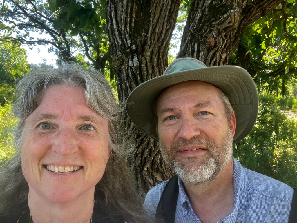
By this time I just wanted to be done. I really wish that I had the capacity to ignore the humidity, my pounding heart, and all my physical aches and pains and just focus on the beauty of the world around me. However, these long and difficult hikes often become spiritually significant to me, as I mentally review exhortations in the Scriptures to persevere under trial. No matter how tired, no matter how discouraged, there was no thought of giving up (not that I had the option). There were more ups and downs in the final mile of trail – in fact, I can recall very few level parts of the entire trail at Sibley – and when we finally got close to the parking lot where the car was, we took our “end-of-hike” photo in the shade of a tree and then I stopped moving and let Kris get the car. I think that if camera makers can come up with a red-eye filter, they ought to be able to come up with a red-face filter, too. But since they haven’t, you get to see all that exertion written plainly on my face.
The hike took us 2 and 1/2 hours and the temperature was 78 degrees when we finished. As we were leaving the park, we took one more photo at the state park sign since the light was more favorable than the evening before. I think this photo tells the whole story, doesn’t it? Sibley is a beautiful park with lovely trails and a variety of interesting sights, but oh, it was hard on me!
Knee Score: a full 10 out of 10 (with the detour to Mt. Tom and other errors, it was 4.5 miles). I don’t give out a score of 10 lightly – I’ve only awarded it 3 times now. My phone says that we walked the equivalent of 39 flights of stairs.
I’m publishing this on a Sunday just in case I don’t have time to publish it or delete it tomorrow. Off on another hike!
Next hike: Lac Qui Parle State Park

Loved this! Every word and photo! Well done!! (I miss you! We’ve been so busy for so long, I have not kept in touch with anyone. Moving after 42 years –with no offspring, relatives or young-ish friends (i.e., strong) around is NOT for the faint of heart. 😏) Also: my knees hurt now after reading your post. Sympathetic aching. Is that a thing?? 🤔😁
LikeLiked by 1 person
Thank you! If I was able to impart sympathetic aching in your knees through the writing of this post, I consider it to be a success. 😆 I’ve missed you, too! I take comfort in the fact that we will probably see more of you two after you move even though it’s cross country, since we get over there at least twice a year. ❤️ You will be due for some major relaxation when the move is all said and done. Phew!
LikeLike
Yes, sympathetic ….body aching…..! Ufda!
Thank you for the narrative.
LikeLiked by 1 person
“… so I think that the first one was sounding reveille and the rest of the group just ignored him …” Another wonderful turn of phrase, just one of many, from the Blog Mistress! This hike was quite the ordeal, although you make it sound like Kris had rubber band legs and just kept bouncing cheerfully along. From past experience, I know I would have been struggling in your wake to keep up with you two!
LikeLiked by 1 person
Yes, Kris does have rubber band legs!! 😄. It’s good that at least one of us does. I’m still counting on the fact that if it came to it, he would carry me to the end just like Sam carried Frodo. Between the three of us, I’m pretty sure I’d still be bringing up the rear. Thanks for your kind and encouraging words.
LikeLike